FF Kleinrust-Fugging
FF Kleinrust-Fugging is a fire station in Obritzberg-Rust, St. Pölten District, Lower Austria. FF Kleinrust-Fugging is situated nearby to the church Dorfkapelle Fugging, as well as near Filialkirche Rottersdorf.| Tap on a place to explore it |
Places of Interest Nearby
Highlights include Pfarrkirche Statzendorf and Pfarrkirche Obritzberg.
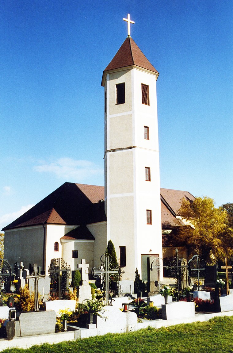
Pfarrkirche Statzendorf
Church

Photo: F.Higer, CC BY-SA 3.0.
Pfarrkirche Statzendorf is a church, which is situated 2 km north of FF Kleinrust-Fugging.
Pfarrkirche Obritzberg
Church
 Pfarrkirche Obritzberg is a church, which is situated 3 km west of FF Kleinrust-Fugging.
Ortskapelle
Church

Photo: Herzi Pinki, CC BY-SA 3.0 at.
Ortskapelle is a church, which is situated 2½ km east of FF Kleinrust-Fugging.
Places in the Area
Nearby places include Fugging and Kleinhain.
Fugging
Village
 Fugging is a village in the municipality of Obritzberg-Rust, Sankt Pölten-Land, Austria. It is located in the state of Lower Austria and was known as Fucking until 1836.

Meidling
Village

Photo: Fotofriend, CC BY-SA 3.0 at.
Meidling is a village, which is situated 5 km north of FF Kleinrust-Fugging.
FF Kleinrust-Fugging
- Type: Fire station
- Location: Obritzberg-Rust, St. Pölten District, Lower Austria, Austria, Central Europe, Europe
- View on OpenStreetMap
Latitude
48.28938° or 48° 17′ 22″ northLongitude
15.63442° or 15° 38′ 4″ eastOpen location code
8FWQ7JQM+QQOpenStreetMap ID
node 618436536OpenStreetMap feature
amenity=fire_station
This page is based on OpenStreetMap, Wikidata, and Wikimedia Commons.
We’d love your help improving our open data sources. Thank you for contributing.
Satellite Map
Discover FF Kleinrust-Fugging from above in high-definition satellite imagery.
Notable Places Nearby
Highlights include Dorfkapelle Fugging and Filialkirche Rottersdorf.
Nearby Places
Explore places such as Fugging Dorfstraße and Fugging Statzendorfer Straße.
Lower Austria: Must-Visit Destinations
Delve into St. Pölten, Wiener Neustadt, Amstetten, and Klosterneuburg.
Curious Fire Stations to Discover
Uncover intriguing fire stations from every corner of the globe.
About Mapcarta. Data © OpenStreetMap contributors and available under the Open Database License". Text is available under the CC BY-SA 4.0 license, except for photos, directions, and the map. Photo: Lonezor, CC BY-SA 3.0.