Gillespie Field
Gillespie Field is a railway stop in San Diego County, Southern California, California. Gillespie Field is situated nearby to Santee Christian Church, as well as near Allen Airways Flying Museum.| Tap on a place to explore it |
Places of Interest Nearby
Highlights include Gillespie Field station and Gillespie Field.
Gillespie Field station
Railway station
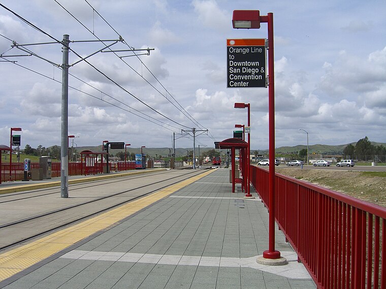
Photo: nagerw, CC BY-SA 2.0.
Gillespie Field station is a Copper Line station of the San Diego Trolley in the San Diego suburb of Santee, California. It is located across Marshall Avenue from Gillespie Field, a county airport, however there is no public access to the airport and the surrounding area is sparse and largely unwalkable.
Gillespie Field
Aerodrome
Gillespie Field is a county-owned public airport in El Cajon, California. It is located 11.5 miles northeast of downtown San Diego.
Santee station
Railway station

Photo: Josh Truelson, CC BY-SA 2.0.
Santee station is a station on the Copper Line of the San Diego Trolley, in the San Diego suburb of Santee, California. The station currently serves as the Copper Line's northern terminus and serves as a major park and ride station. Santee station is situated 1 mile north of Gillespie Field.
Places in the Area
Nearby places include Fletcher Hills and El Cajon.
Fletcher Hills
Village
The Fletcher Hills are a low mountain range in the Peninsular Ranges, in southwestern San Diego County, California. The name Fletcher Hills also refers to a neighborhood near San Diego, California which lies primarily in the city of El Cajon and partially in La Mesa. Fletcher Hills is situated 2 miles south of Gillespie Field.
El Cajon

Photo: kid pro quo, CC BY 2.0.
El Cajon is a city in San Diego County, California, United States, 17 mi east of downtown San Diego. The city takes its name from Rancho El Cajón, which was named for the box-like shape of the valley that surrounds the city, and the origin of the city's common nickname "the Box".
Winter Gardens
Town
Winter Gardens is a census-designated place in San Diego County, California. The population was 22,380 at the 2020 census, up from 20,631 at the 2010 census. Winter Gardens is situated 3 miles east of Gillespie Field.
Gillespie Field
- Type: Railway stop
- Categories: transport stop and transportation
- Location: San Diego County, Southern California, California, United States, North America
- View on OpenStreetMap
Latitude
32.82729° or 32° 49′ 38″ northLongitude
-116.98227° or 116° 58′ 56″ westOperator
San Diego Metropolitan Transit SystemNetwork
SDMTSOpen location code
8545R2G9+W3OpenStreetMap ID
node 6184516274OpenStreetMap feature
public_transport=stop_positionOpenStreetMap feature
railway=stop
This page is based on OpenStreetMap, Wikidata, and Wikimedia Commons.
We’d love your help improving our open data sources. Thank you for contributing.
Satellite Map
Discover Gillespie Field from above in high-definition satellite imagery.
Places with the Same Name
Discover other places named “Gillespie Field”.
Notable Places Nearby
Highlights include Santee Christian Church and Allen Airways Flying Museum.
Nearby Places
Explore places such as Gillespie Field Station and 7-Eleven.
San Diego County: Must-Visit Destinations
Delve into San Diego, Chula Vista, Oceanside, and Carlsbad.
Curious Railway Stops to Discover
Uncover intriguing railway stops from every corner of the globe.
About Mapcarta. Data © OpenStreetMap contributors and available under the Open Database License". Text is available under the CC BY-SA 4.0 license, except for photos, directions, and the map. Photo: Bovlb, Public domain.