Club Malibu
Club Malibu is a nightclub in San Francisco, Bay Area, California which is located on Mission Street. Club Malibu is situated nearby to Coleridge Park, as well as near the reservoir Cistern at Dolores & 30th.| Tap on a place to explore it |
Places of Interest Nearby
Highlights include St. Paul’s Catholic Church and Bernal Heights Summit.
St. Paul’s Catholic Church
Church

Photo: Chris06, CC BY-SA 4.0.
St. Paul's Catholic Church is an American Catholic parish church of the Archdiocese of San Francisco. The parish is located in the city of San Francisco, California, at 221 Valley Street and the corner of Church Street in the city's Noe Valley neighborhood. St. Paul’s Catholic Church is situated 1,700 feet northwest of Club Malibu.
Bernal Heights Summit
Peak

Photo: Octoferret, CC BY-SA 2.5.
Bernal Heights Summit or Bernal Heights Hill is a hill in the San Francisco, California neighborhood of Bernal Heights. Upper elevations are part of Bernal Heights Park, which the San Francisco Recreation & Parks Department manages.
Bernal Heights Branch Library
Library

Photo: Eric E Castro, CC BY 2.0.
Bernal Heights Branch Library is situated 2,100 feet southeast of Club Malibu.
Places in the Area
Nearby places include Bernal Heights and Noe Valley.
Bernal Heights
Photo: Octoferret, CC BY-SA 2.5.
Bernal Heights, just south of the Mission District of San Francisco, is a cute, eclectic neighborhood that was once very working class, but is becoming quickly gentrified.
Noe Valley
Quarter
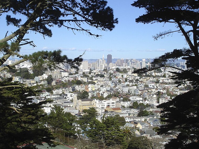
Photo: Yaman32, CC BY-SA 3.0.
Noe Valley is a neighborhood in the central part of San Francisco, California. It is named for Don José de Jesús Noé, noted 19th-century Californio statesman and ranchero, who owned much of the area and served as mayor.
Glen Park
Quarter

Photo: Wikimedia, CC BY-SA 2.0.
Glen Park is a residential neighborhood in San Francisco, California, located south of Twin Peaks and adjacent to Glen Canyon Park.
Club Malibu
- Type: Nightclub
- Address: 3395 Mission Street, San Francisco, CA 94110
- Location: San Francisco, Bay Area, California, United States, North America
- View on OpenStreetMap
Latitude
37.74223° or 37° 44′ 32″ northLongitude
-122.42184° or 122° 25′ 19″ westOpen location code
849VPHRH+V7OpenStreetMap ID
node 6191250683OpenStreetMap feature
amenity=nightclub
This page is based on OpenStreetMap, Wikidata, and Wikimedia Commons.
We’d love your help improving our open data sources. Thank you for contributing.
Satellite Map
Discover Club Malibu from above in high-definition satellite imagery.
Notable Places Nearby
Highlights include Coleridge Park and Cistern at Dolores & 30th.
Nearby Places
Explore places such as The Wash Place and Mission Street & 30th Street.
San Francisco: Must-Visit Destinations
Delve into Golden Gate, Chinatown-North Beach, Civic Center-Tenderloin, and Fisherman’s Wharf.
Curious Nightclubs to Discover
Uncover intriguing nightclubs from every corner of the globe.
About Mapcarta. Data © OpenStreetMap contributors and available under the Open Database License". Text is available under the CC BY-SA 4.0 license, except for photos, directions, and the map. Photo: Wikimedia, CC BY-SA 3.0.