Cinglo Ròsso
Cinglo Ròsso is a peak in Stenico, Trentino, Trentino-Alto Adige and has an elevation of 1,680 metres. Cinglo Ròsso is situated nearby to the locality I Salti, as well as near Casa Baschieri.| Tap on a place to explore it |
Places of Interest
Highlights include Castello di Stenico and Dedication of Saint Michael church.


Places in the Area
Nearby places include Dorsino and San Lorenzo Dorsino.
Dorsino
Hamlet

Photo: Paolo Italy, CC BY-SA 3.0.
Dorsino was a comune in Trentino in the northern Italian region Trentino-Alto Adige/Südtirol, located about 15 kilometres west of Trento. As of 31 December 2004, it had a population of 444 and an area of 12.2 square kilometres.
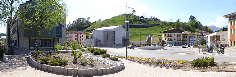
San Lorenzo Dorsino
Village

Photo: Syrio, CC BY-SA 4.0.
San Lorenzo Dorsino is a commune in Trentino, northern Italy. It was created in 2015 by the merger of the former communes of San Lorenzo in Banale and Dorsino.
Cinglo Ròsso
- Type: Peak with an elevation of 1,680 metres
- Category: landform
- Location: Stenico, Trentino, Trentino-Alto Adige, Northeast Italy, Italy, Europe
- View on OpenStreetMap
Latitude
46.0677° or 46° 4′ 4″ northLongitude
10.8574° or 10° 51′ 27″ eastElevation
1,680 metres (5,512 feet)Open location code
8FRG3V94+3XOpenStreetMap ID
node 6194455867OpenStreetMap feature
natural=peak
This page is based on OpenStreetMap, Wikidata, and Wikimedia Commons.
We’d love your help improving our open data sources. Thank you for contributing.
Satellite Map
Discover Cinglo Ròsso from above in high-definition satellite imagery.
Localities in the Area
Explore places such as I Salti and Casa Baschieri.
Notable Places Nearby
Highlights include Rudere riparo del pastore and Tres de Cavort.
Trentino: Must-Visit Destinations
Delve into Trento, Rovereto, Riva del Garda, and Canazei.
Curious Peaks to Discover
Uncover intriguing peaks from every corner of the globe.
About Mapcarta. Data © OpenStreetMap contributors and available under the Open Database License". Text is available under the CC BY-SA 4.0 license, except for photos, directions, and the map. Photo: Dmottl, CC BY-SA 3.0.