Arsouille
Arsouille is a restaurant in Brussels, Belgium. Arsouille is situated nearby to the pub Café Walvis, as well as near the health club DNSRT.| Tap on a place to explore it |
Places of Interest Nearby
Highlights include Grand Place and Anspach Fountain.
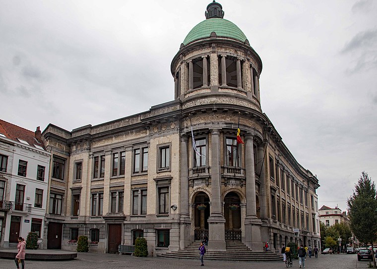
Grand Place
Square

Photo: Celuici, CC BY-SA 4.0.
The Grand-Place or Grote Markt is the central square of Brussels, Belgium. It is surrounded by opulent Baroque guildhalls of the former Guilds of Brussels and two larger edifices; the city's Flamboyant Town Hall, and the neo-Gothic King's House or Bread House building, containing the Brussels City Museum. Grand Place is situated 1 km southeast of Arsouille.
Anspach Fountain
Fountain

Photo: EmDee, CC BY-SA 3.0.
The Anspach Fountain is an eclectic-style fountain-obelisk erected between 1895 and 1897 in the centre of the Place de Brouckère/De Brouckèreplein in Brussels, Belgium. Anspach Fountain is situated 350 metres east of Arsouille.
Place du Nouveau Marché aux Grains - Nieuwe Graanmarkt
Square
 Place du Nouveau Marché aux Grains - Nieuwe Graanmarkt is a square, which is situated 250 metres southeast of Arsouille.
Places in the Area
Nearby places include Rive Gauche - Linkeroever and Dansaert area.
Rive Gauche - Linkeroever
Neighborhood

Photo: Mario Scolas, CC BY-SA 3.0.
Rive Gauche - Linkeroever is a neighborhood.

Molenbeek and surroundings
 Molenbeek and neighbouring quarters in Brussels have a bit of a shoddy reputation, in part due to overhyped media reports and in part due to genuine issues.
Arsouille
- Type: Restaurant
- Category: food
- Location: Brussels, Arrondissement of Brussels-Capital, Brussels, Brussels Capital, Belgium, Benelux, Europe
- View on OpenStreetMap
Latitude
50.85249° or 50° 51′ 9″ northLongitude
4.34215° or 4° 20′ 32″ eastInception
May 2024Open location code
9F26V82R+XVOpenStreetMap ID
node 6204782685OpenStreetMap feature
amenity=restaurant
This page is based on OpenStreetMap, Wikidata, and Wikimedia Commons.
We’d love your help improving our open data sources. Thank you for contributing.
Satellite Map
Discover Arsouille from above in high-definition satellite imagery.
Places with the Same Name
Discover other places named “Arsouille”.
Notable Places Nearby
Highlights include Café Walvis and DNSRT.
Nearby Places
Explore places such as Kinumai and Dansaert Business Centre.
Brussels: Must-Visit Destinations
Delve into Pentagon, Brussels Airport, Schaarbeek, and Centre.
Curious Restaurants to Discover
Uncover intriguing restaurants from every corner of the globe.
About Mapcarta. Data © OpenStreetMap contributors and available under the Open Database License". Text is available under the CC BY-SA 4.0 license, except for photos, directions, and the map. Photo: Hullie, CC BY-SA 3.0.