Puig Rabat
Puig Rabat is a peak in Òdena, Barcelona, Catalonia and has an elevation of 416 metres. Puig Rabat is situated nearby to the locality la Font, as well as near Racó del Jan Xic.| Tap on a place to explore it |
Places of Interest
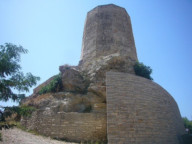
Highlights include Òdena town hall and Castell d’Òdena.

Igualada-Òdena Aerodrome
Aerodrome
The Igualada-Òdena Aerodrome, known officially as the Igualada-Òdena General Vives Aerodrome, is an airfield located in the municipality of Òdena. It has an asphalt runway 900 meters and 330 meters above sea level.
Places in the Area
Nearby places include Igualada and Vilanova del Camí.
Igualada

Photo: Chixoy, CC BY-SA 4.0.
Igualada is a city of 41,000 people in Barcelona, and a stage in the Catalan Way of St. James. Igualada is the capital and central market of the Anoia comarca, a rich agricultural and wine-producing district.
Vilanova del Camí
Town

Photo: Aracelifoto, CC BY-SA 3.0.
Vilanova del Camí is a municipality in the comarca of the Anoia in Catalonia, Spain. The name literally means "New Town of the Route", the route being the road from Igualada to Vilafranca del Penedès.
Santa Margarida de Montbui
Village

Photo: Aracelifoto, CC BY-SA 3.0.
Santa Maragarida de Montbui is a municipality in the comarca of the Anoia in Catalonia, Spain. It is situated in the Òdena Basin, immediately to the west of Igualada of which it effectively forms a suburb.
Puig Rabat
Latitude
41.6064° or 41° 36′ 23″ northLongitude
1.6477° or 1° 38′ 52″ eastElevation
416 metres (1,365 feet)Open location code
8FH3JJ4X+H3OpenStreetMap ID
node 6205078419OpenStreetMap feature
natural=peakWikidata ID
Q11943426
This page is based on OpenStreetMap, Wikidata, and Wikimedia Commons.
We’d love your help improving our open data sources. Thank you for contributing.
Satellite Map
Discover Puig Rabat from above in high-definition satellite imagery.
In Other Languages
From Catalan to Ladin—“Puig Rabat” goes by many names.
- Catalan: “Puig Rabat”
- Dutch: “Puig Rabat”
- Ladin: “Puig Rabat”
Localities in the Area
Explore places such as Puig Rabat and la Font.
Notable Places Nearby
Highlights include Parc de la Font and Església de Sant Miquel d’Òdena.
Barcelona: Must-Visit Destinations
Delve into Barcelona, Malgrat de Mar, Terrassa, and Badalona.
Curious Peaks to Discover
Uncover intriguing peaks from every corner of the globe.
About Mapcarta. Data © OpenStreetMap contributors and available under the Open Database License". Text is available under the CC BY-SA 4.0 license, except for photos, directions, and the map. Photo: Alex Micheu Photography, CC BY-SA 3.0.