Consortio Security
Consortio Security is an office in Lockington-Hemington, North West Leicestershire, England which is located on Boundary Court. Consortio Security is situated nearby to Station Bridge, as well as near Back Lane Bridge.| Tap on a place to explore it |
Places of Interest Nearby
Highlights include Church of St Edward King and Martyr, Castle Donington and St James’ Church, Shardlow.
Church of St Edward King and Martyr, Castle Donington
Church

Photo: Ed6767, CC BY-SA 4.0.
Church of St Edward King and Martyr, Castle Donington is situated 1 mile south of Consortio Security.
St James’ Church, Shardlow
Church

Photo: Andy Jamieson, CC BY-SA 2.0.
St James’ Church, Shardlow is a Grade II listed parish church in the Church of England in Shardlow, Derbyshire. St James’ Church, Shardlow is situated 1 mile northwest of Consortio Security.
Castle Donington Methodist Church
Church

Photo: Rpriv2000, CC BY-SA 3.0.
Castle Donington Methodist Church is a Grade II listed Methodist church in Castle Donington, Leicestershire, England. Castle Donington Methodist Church is situated 1 mile south of Consortio Security.
Places in the Area
Nearby places include Hemington and Castle Donington.
Hemington
Village

Photo: Chris J Dixon, CC BY-SA 2.0.
Hemington is a village and former civil parish, now in the parish of Lockington-Hemington, in the North West Leicestershire district of Leicestershire, England.
Castle Donington

Photo: Pyrope, CC BY-SA 3.0.
Castle Donington is a market village and civil parish in Leicestershire, England, on the edge of the National Forest and close to East Midlands Airport.
Shardlow
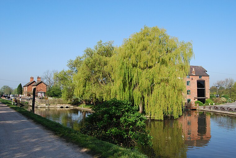
Photo: Rpriv2000, CC BY-SA 3.0.
Shardlow is a village in Derbyshire, England about 6 miles southeast of Derby and 11 miles southwest of Nottingham. Part of the civil parish of Shardlow and Great Wilne, and the district of South Derbyshire, it is also very close to the border with Leicestershire, defined by the route of the River Trent which passes close to the south.
Consortio Security
- Type: Business
- Address: 6, Boundary Court, Willow Farm Business Park, Derby, DE74 2UD
- Category: office
- Location: Lockington-Hemington, North West Leicestershire, Leicestershire, East Midlands, England, United Kingdom, Britain and Ireland, Europe
- View on OpenStreetMap
Latitude
52.85509° or 52° 51′ 18″ northLongitude
-1.33613° or 1° 20′ 10″ westOpen location code
9C4WVM47+2GOpenStreetMap ID
node 6223893050OpenStreetMap feature
office=company
This page is based on OpenStreetMap, Wikidata, and Wikimedia Commons.
We’d love your help improving our open data sources. Thank you for contributing.
Satellite Map
Discover Consortio Security from above in high-definition satellite imagery.
Notable Places Nearby
Highlights include Station Bridge and Back Lane Bridge.
Nearby Places
Explore places such as Cameron Homes and Hidenda.
Leicestershire: Must-Visit Destinations
Delve into Leicester, Loughborough, Hinckley, and Melton Mowbray.
Curious Places to Discover
Uncover intriguing places from every corner of the globe.
About Mapcarta. Data © OpenStreetMap contributors and available under the Open Database License". Text is available under the CC BY-SA 4.0 license, except for photos, directions, and the map. Photo: Wikimedia, CC0.