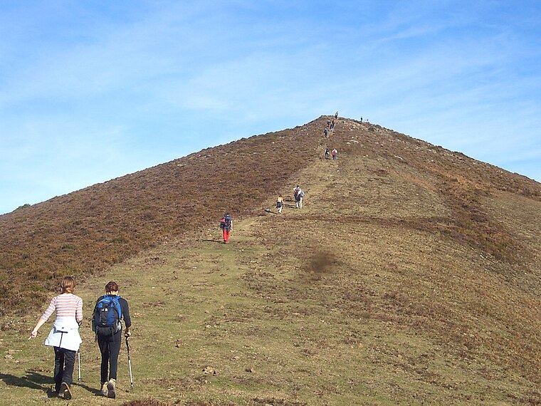
Pingüezo
Pingüezo is a peak in Valle de Mena, Burgos, Castile and León and has an elevation of 673 metres. Pingüezo is situated nearby to the locality Campo Medio, as well as near El Cuadro.| Tap on a place to explore it |
Places of Interest
Highlights include Kolitza (mountain) and Maza del Pando.


Places in the Area
Nearby places include Balmaseda and Nava de Ordunte.
Balmaseda
 Balmaseda is a town of 7,700 people in Vizcaya, Basque Country. A small and charming Basque town near the border with Burgos. Nestled in the mountains, it is an excellent base for exploring the wilderness.


Pingüezo
- Type: Peak with an elevation of 673 metres
- Category: landform
- Location: Valle de Mena, Burgos, Castile and León, Central Spain, Spain, Iberia, Europe
- View on OpenStreetMap
Latitude
43.1793° or 43° 10′ 46″ northLongitude
-3.2664° or 3° 15′ 59″ westElevation
673 metres (2,208 feet)Open location code
8CMR5PHM+PCOpenStreetMap ID
node 6230775327OpenStreetMap feature
natural=peak
This page is based on OpenStreetMap, Wikidata, and Wikimedia Commons.
We’d love your help improving our open data sources. Thank you for contributing.
Satellite Map
Discover Pingüezo from above in high-definition satellite imagery.
Localities in the Area
Explore places such as Campo Medio and El Cuadro.
Notable Places Nearby
Highlights include Fuente Manzano and Burgueño.
Castile and León: Must-Visit Destinations
Delve into Valladolid, Salamanca, Segovia, and León.
Curious Peaks to Discover
Uncover intriguing peaks from every corner of the globe.
About Mapcarta. Data © OpenStreetMap contributors and available under the Open Database License". Text is available under the CC BY-SA 4.0 license, except for photos, directions, and the map. Photo: Choniron, CC BY-SA 3.0 es.