De Vlaaije
De Vlaaije is a locality in North Holland, Western Netherlands. De Vlaaije is situated nearby to the locality Schilpveld, as well as near Zuidduinen.| Tap on a place to explore it |
Places of Interest
Highlights include Zandvoorts Museum and Zandvoort aan Zee railway station.
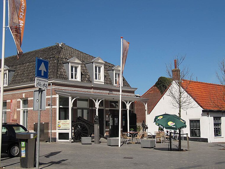
Zandvoort aan Zee railway station
Railway station

Photo: Elekes Andor, CC BY-SA 4.0.
Zandvoort aan Zee is a terminal train station in the town of Zandvoort, Netherlands. The station opened on 3 June 1881, and is within walking distance of the beach.

Places in the Area
Nearby places include Zandvoort and Bentveld.
Zandvoort

Photo: -jan, CC BY-SA 2.0.
Zandvoort is as famous and crowded as beach resorts get in the Netherlands. That is - in summer, when the weather is nice, Dutch and German visitors flock to the sandy beaches of this otherwise rather small town and dozens of beach pavilions along the long boulevard cater to their needs.
Bentveld
Village
Bentveld is a village in the Dutch province of North Holland. It is a part of the municipality of Zandvoort, and lies about 5 kilometres west of Haarlem.
Aerdenhout
Village
 Aerdenhout is a village in the municipality of Bloemendaal, Netherlands. Located in the dunes between Haarlem and the beach town of Zandvoort, it ranks as the wealthiest town in the Netherlands. Aerdenhout is situated 4 km east of De Vlaaije.
De Vlaaije
- Type: Locality
- Location: North Holland, Western Netherlands, Netherlands, Benelux, Europe
- View on OpenStreetMap
Latitude
52.3645° or 52° 21′ 52″ northLongitude
4.53563° or 4° 32′ 8″ eastOpen location code
9F469G7P+Q7OpenStreetMap ID
node 6244632088OpenStreetMap feature
place=locality
This page is based on OpenStreetMap, Wikidata, and Wikimedia Commons.
We’d love your help improving our open data sources. Thank you for contributing.
Satellite Map
Discover De Vlaaije from above in high-definition satellite imagery.
Localities in the Area
Explore places such as Schilpveld and Zuidduinen.
Notable Places Nearby
Highlights include Leverberg and Wim Gertenbach College.
North Holland: Must-Visit Destinations
Delve into Amsterdam, Haarlem, Alkmaar, and Schiphol Airport.
Curious Localities to Discover
Uncover intriguing localities from every corner of the globe.
About Mapcarta. Data © OpenStreetMap contributors and available under the Open Database License". Text is available under the CC BY-SA 4.0 license, except for photos, directions, and the map. Photo: Arch, Public domain.