A City Law Firm
A City Law Firm is a law office in Hackney, Greater London, England. A City Law Firm is situated nearby to the government office Ministry of Defence Defence Relationship Management, as well as near the school The Lyceum.| Tap on a place to explore it |
Places of Interest Nearby
Highlights include London Liverpool Street and The Tower of London.
London Liverpool Street
Railway station

Photo: Aurelien Guichard, CC BY-SA 2.0.
Liverpool Street station, also known as London Liverpool Street, is a major central London railway terminus and connected London Underground station in the north-eastern corner of the City of London, in the ward of Bishopsgate Without. London Liverpool Street is situated 1,600 feet south of A City Law Firm.
The Tower of London

Photo: Aniacra, CC BY-SA 4.0.
The Tower of London, officially His Majesty's Royal Palace and Fortress of the Tower of London, is a historic citadel and castle on the north bank of the River Thames in London, England. The Tower of London is situated 1 mile south of A City Law Firm.
London Bridge
 The name "London Bridge" refers to several historic crossings that have spanned the River Thames between the City of London and Southwark in central London since Roman times. London Bridge is situated 1 mile south of A City Law Firm.
Places in the Area
Nearby places include Shoreditch and Finsbury.
Shoreditch
Suburb

Photo: Tarquin Binary, Public domain.
Shoreditch is an area in London, England and is located in the London Borough of Hackney alongside neighbouring parts of Tower Hamlets, which are also perceived as part of the area due to historic ecclesiastical links.
Finsbury
Suburb

Photo: Goodwillgames, CC BY-SA 4.0.
Finsbury is a district of North-Central London, forming the southeastern part of the London Borough of Islington. It borders the City of London. The Manor of Finsbury is first recorded as Vinisbir and means "manor of a man called Finn".
Spitalfields
Quarter
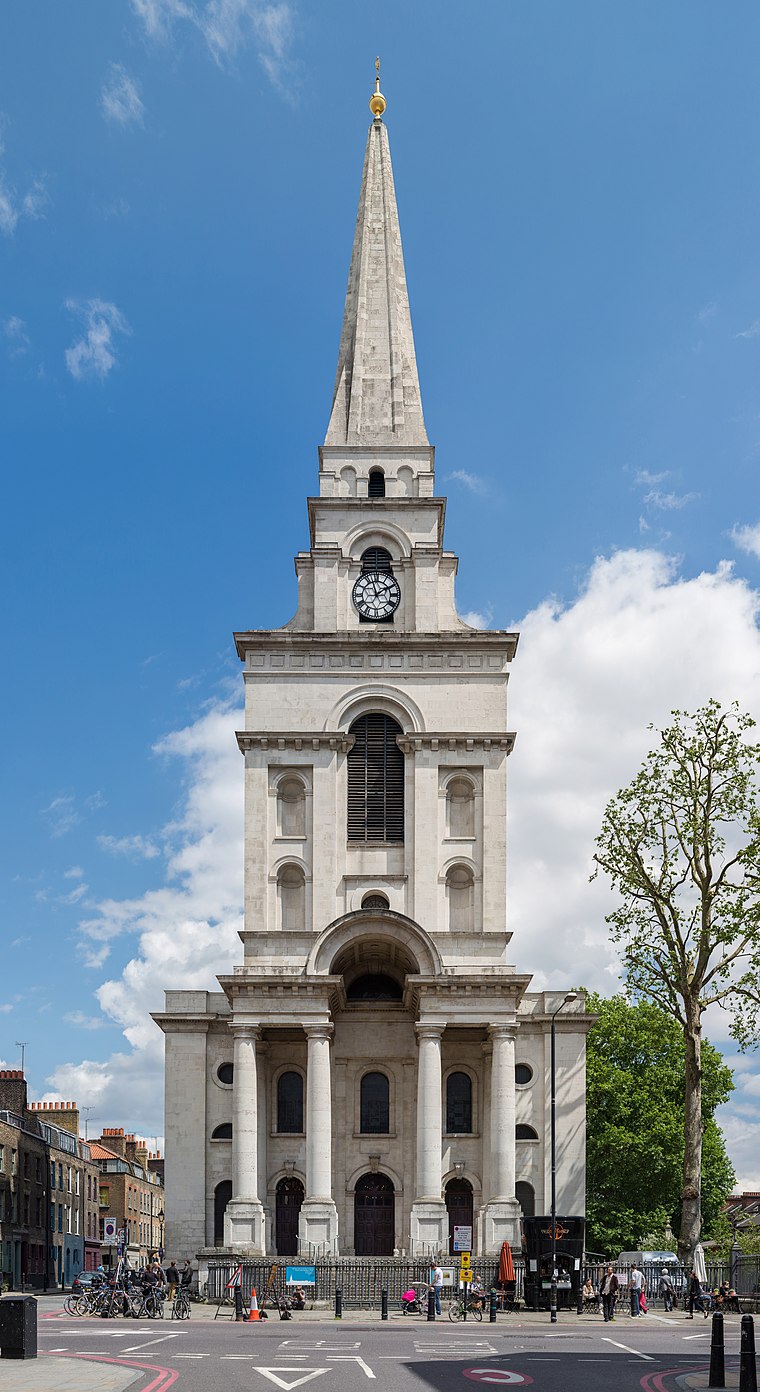
Photo: Diliff, CC BY-SA 3.0.
Spitalfields is an area in London, England and is located in the London Borough of Tower Hamlets. It is in East London and situated in the East End. Spitalfields is formed around Commercial Street and Brick Lane.
A City Law Firm
- Type: Law office
- Category: office
- Location: Hackney, Greater London, London, England, United Kingdom, Britain and Ireland, Europe
- View on OpenStreetMap
Latitude
51.52251° or 51° 31′ 21″ northLongitude
-0.08308° or 0° 4′ 59″ westOpen location code
9C3XGWF8+2QOpenStreetMap ID
node 6247142376OpenStreetMap feature
office=lawyer
This page is based on OpenStreetMap, Wikidata, and Wikimedia Commons.
We’d love your help improving our open data sources. Thank you for contributing.
Satellite Map
Discover A City Law Firm from above in high-definition satellite imagery.
Notable Places Nearby
Highlights include Ministry of Defence Defence Relationship Management and The Lyceum.
Nearby Places
Explore places such as Quick House and Redcentric London.
London: Must-Visit Destinations
Delve into South Kensington-Chelsea, Heathrow Airport, City of London, and Westminster.
Curious Law Offices to Discover
Uncover intriguing law offices from every corner of the globe.
About Mapcarta. Data © OpenStreetMap contributors and available under the Open Database License". Text is available under the CC BY-SA 4.0 license, except for photos, directions, and the map. Photo: Laurencefwhite, CC BY 2.5.