Place Paul-Kane
Place Paul-Kane is a bus stop in Laval, Southwestern Quebec, Quebec. Place Paul-Kane is situated nearby to the cemetery Cimetière Hamza, as well as near the park Parc Borduas.| Tap on a place to explore it |
Places of Interest Nearby
Highlights include Centre de la nature and Parc Sauvé.
Centre de la nature
Park

Photo: Richard Mc Neil, CC BY 3.0.
Centre de la nature is a park, which is situated 3 km south of Place Paul-Kane.
Parc Sauvé
Park

Photo: Wikimedia, CC BY-SA 3.0.
Parc Sauvé is a park, which is situated 4 km south of Place Paul-Kane.
Parc Sainte-Marthe
Park
 Parc Sainte-Marthe is a park, which is situated 4 km east of Place Paul-Kane.
Places in the Area
Nearby places include Terrebonne and Sault-au-Récollet.
Terrebonne

Photo: Richard Mc Neil, CC BY 3.0.
Terrebonne is a city of 116,000 people in the Lanaudière region of Quebec. It is a suburb of Montreal. Terrebonne has a great history of river navigation, places of worship, agriculture, mills, forestry, arts and culture.
Sault-au-Récollet
Neighborhood
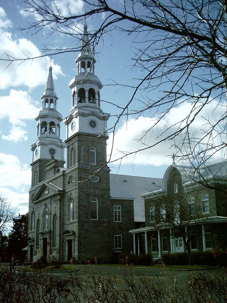
Photo: Wikimedia, CC BY-SA 3.0.
Sault-au-Récollet is a neighbourhood in Montreal. It is located in the eastern edge of the borough of Ahuntsic-Cartierville, bordering the Rivière des Prairies. Sault-au-Récollet is situated 7 km south of Place Paul-Kane.
East End

Photo: Wikimedia, CC BY-SA 3.0.
Rivière-des-Prairies–Pointe-aux-Trembles–Montréal-Est was a borough in the eastern end of Montréal, Québec. The borough was located at the eastern tip of the Island of Montréal.
Place Paul-Kane
- Type: Bus stop
- Category: transportation
- Location: Laval, Southwestern Quebec, Quebec, Canada, North America
- View on OpenStreetMap
Latitude
45.63317° or 45° 37′ 59″ northLongitude
-73.6506° or 73° 39′ 2″ westOperator
STLNetwork
STLOpen location code
87Q8J8MX+7QOpenStreetMap ID
node 6269507511OpenStreetMap feature
highway=bus_stopOpenStreetMap feature
public_transport=platform
This page is based on OpenStreetMap, Wikidata, and Wikimedia Commons.
We’d love your help improving our open data sources. Thank you for contributing.
Satellite Map
Discover Place Paul-Kane from above in high-definition satellite imagery.
Notable Places Nearby
Highlights include Cimetière Hamza and Parc Borduas.
Nearby Places
Explore places such as Paul-Kane / Face Au 800 and Terminus Paul-Kane.
Southwestern Quebec: Must-Visit Destinations
Delve into Montreal, Sherbrooke, Longueuil, and Montreal-Pierre Elliott Trudeau International Airport.
Curious Bus Stops to Discover
Uncover intriguing bus stops from every corner of the globe.
About Mapcarta. Data © OpenStreetMap contributors and available under the Open Database License". Text is available under the CC BY-SA 4.0 license, except for photos, directions, and the map. Photo: Inkey, CC BY 2.0.