Vanier / Liébert
Vanier / Liébert is a bus stop in Laval, Southwestern Quebec, Quebec. Vanier / Liébert is situated nearby to the park Parc Jean-XXIII, as well as near Parc Collin.| Tap on a place to explore it |
Places of Interest Nearby
Highlights include Centre de la nature and Pie IX Bridge.
Centre de la nature
Park

Photo: Richard Mc Neil, CC BY 3.0.
Centre de la nature is a park, which is situated 650 metres southwest of Vanier / Liébert.
Pie IX Bridge
Bridge

Photo: Blanchardb, CC BY 3.0.
Pie IX Bridge is a bridge in Quebec, spanning the Rivière des Prairies. It connects the Saint-Vincent-de-Paul area of Laval, on Île Jésus, and the borough of Montréal-Nord in Montreal, on the Island of Montreal. Pie IX Bridge is situated 1½ km southeast of Vanier / Liébert.
Parc Sauvé
Park

Photo: Wikimedia, CC BY-SA 3.0.
Parc Sauvé is a park, which is situated 2 km southeast of Vanier / Liébert.
Places in the Area
Nearby places include Sault-au-Récollet and Montreal.
Sault-au-Récollet
Neighborhood
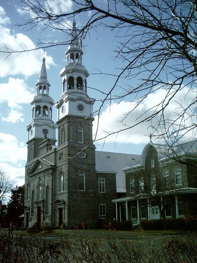
Photo: Wikimedia, CC BY-SA 3.0.
Sault-au-Récollet is a neighbourhood in Montreal. It is located in the eastern edge of the borough of Ahuntsic-Cartierville, bordering the Rivière des Prairies. Sault-au-Récollet is situated 4½ km south of Vanier / Liébert.
Montreal

Photo: Wikimedia, CC BY-SA 3.0.
Montreal is the largest city in the Canadian province of Quebec. While Quebec City is the political capital, Montreal is the cultural and economic centre, and the main entry point to the province.
Rosemont–La Petite-Patrie

Photo: Jeangagnon, CC BY-SA 3.0.
Rosemont—La Petite-Patrie is an area of Montreal north of the Plateau. Unlike in many other North American cities, Montreal's Little Italy is still authentic and has not seen any tourist-oriented development.
Vanier / Liébert
- Type: Bus stop
- Category: transportation
- Location: Laval, Southwestern Quebec, Quebec, Canada, North America
- View on OpenStreetMap
Latitude
45.61112° or 45° 36′ 40″ northLongitude
-73.65749° or 73° 39′ 27″ westOpen location code
87Q8J86V+C2OpenStreetMap ID
node 6269507770OpenStreetMap feature
highway=bus_stopOpenStreetMap feature
public_transport=platform
This page is based on OpenStreetMap, Wikidata, and Wikimedia Commons.
We’d love your help improving our open data sources. Thank you for contributing.
Satellite Map
Discover Vanier / Liébert from above in high-definition satellite imagery.
Notable Places Nearby
Highlights include Parc Jean-XXIII and Parc Collin.
Nearby Places
Explore places such as Vanier / Liébert and Vanier / Jean-Xxiii.
Southwestern Quebec: Must-Visit Destinations
Delve into Montreal, Sherbrooke, Longueuil, and Montreal-Pierre Elliott Trudeau International Airport.
Curious Bus Stops to Discover
Uncover intriguing bus stops from every corner of the globe.
About Mapcarta. Data © OpenStreetMap contributors and available under the Open Database License". Text is available under the CC BY-SA 4.0 license, except for photos, directions, and the map. Photo: Inkey, CC BY 2.0.