Centro de Rehabilitación Luján CERELU
Centro de Rehabilitación Luján CERELU is a community center in Luján Partido, Buenos Aires which is located on Avenida 1 de Mayo. Centro de Rehabilitación Luján CERELU is situated nearby to the grassland Rotonda de los Trabajadores, as well as near the sports venue Lujan Rugby Club.| Tap on a place to explore it |
Places of Interest Nearby
Highlights include Basilica of Our Lady of Luján and Provincial Museum Complex «Enrique Udaondo».
Basilica of Our Lady of Luján
Church

Photo: Fernando bonsembiante, CC BY-SA 4.0.
The Minor Basilica of Our Lady of Luján is a Catholic church in Luján, Buenos Aires, Argentina. Built in Neogothic style between 1890 and 1935, it is dedicated to Our Lady of Luján, the patron saint of Argentina. Basilica of Our Lady of Luján is situated 2 km south of Centro de Rehabilitación Luján CERELU.
Provincial Museum Complex «Enrique Udaondo»
Museum

Photo: Enrique Udaondo, CC BY-SA 3.0.
Provincial Museum Complex «Enrique Udaondo» is situated 1½ km south of Centro de Rehabilitación Luján CERELU.
Museum of Fine Arts Fernán Félix de Amador
Museum
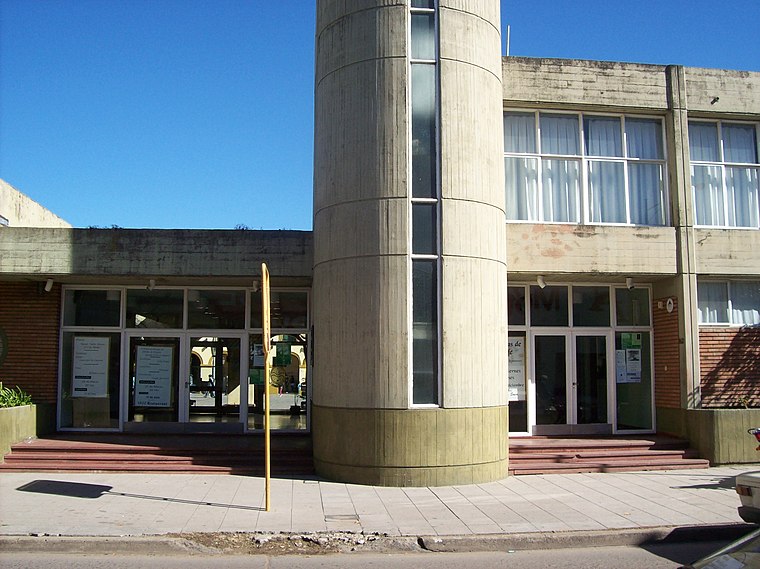
Photo: Alpertron, CC BY-SA 4.0.
Museum of Fine Arts Fernán Félix de Amador is situated 1½ km south of Centro de Rehabilitación Luján CERELU.
Places in the Area
Nearby places include Luján and José María Jáuregui.
Luján

Photo: Wikimedia, CC BY-SA 3.0.
Luján is a city in the province of Buenos Aires, Argentina. It is located 68 kilometers away from the city of Buenos Aires.
José María Jáuregui
Village

Photo: Walter Nieto, CC BY-SA 3.0.
José María Jáuregui is a town in the Luján Partido of Buenos Aires Province, Argentina. José María Jáuregui is situated 7 km southwest of Centro de Rehabilitación Luján CERELU.
Open Door
Village
Open Door is a small town in Luján Partido, Buenos Aires Province, Argentina. Open Door is situated 8 km northeast of Centro de Rehabilitación Luján CERELU.
Centro de Rehabilitación Luján CERELU
- Type: Community center
- Address: 0.200 Avenida 1 de Mayo
- Categories: health care and rehabilitation center
- Location: Luján Partido, Buenos Aires, Pampas, Argentina, South America
- View on OpenStreetMap
Latitude
-34.54839° or 34° 32′ 54″ southLongitude
-59.12531° or 59° 7′ 31″ westOpen location code
48Q2FV2F+JVOpenStreetMap ID
node 6273356823OpenStreetMap feature
amenity=community_centreOpenStreetMap feature
healthcare=rehabilitation
This page is based on OpenStreetMap, Wikidata, and Wikimedia Commons.
We’d love your help improving our open data sources. Thank you for contributing.
Satellite Map
Discover Centro de Rehabilitación Luján CERELU from above in high-definition satellite imagery.
Notable Places Nearby
Highlights include Rotonda de los Trabajadores and Lujan Rugby Club.
Nearby Places
Explore places such as 1 de Mayo y Las Begonias and Luján Apicultura.
Buenos Aires: Must-Visit Destinations
Delve into Buenos Aires, La Plata, Mar del Plata, and Centro.
Curious Community Centers to Discover
Uncover intriguing community centers from every corner of the globe.
About Mapcarta. Data © OpenStreetMap contributors and available under the Open Database License". Text is available under the CC BY-SA 4.0 license, except for photos, directions, and the map. Photo: Mbusin, CC BY-SA 4.0.