Les Tuileries 9064
Les Tuileries 9064 is an electrical substation in Trois-Ilets, Arrondissement du Marin. Les Tuileries 9064 is situated nearby to Fort Alet, as well as near the passenger ship terminal Embarcadère de l’Anse Mitan.| Tap on a place to explore it |
Places of Interest Nearby
Highlights include Église Notre-Dame-de-la-Bonne-Délivrance des Trois-Îlets and Marché des Trois-Îlets.
Église Notre-Dame-de-la-Bonne-Délivrance des Trois-Îlets
Church
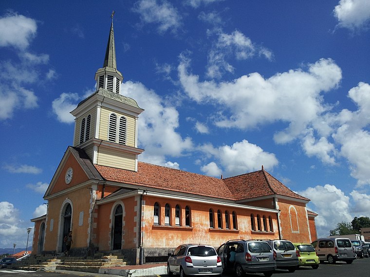
Photo: UHF, CC BY-SA 3.0.
Église Notre-Dame-de-la-Bonne-Délivrance des Trois-Îlets is a church, which is situated 2½ km southeast of Les Tuileries 9064.
Marché des Trois-Îlets
Post office

Photo: WCOMFR, CC BY-SA 4.0.
Marché des Trois-Îlets is a post office, which is situated 2½ km southeast of Les Tuileries 9064.
Maison de la canne
Museum
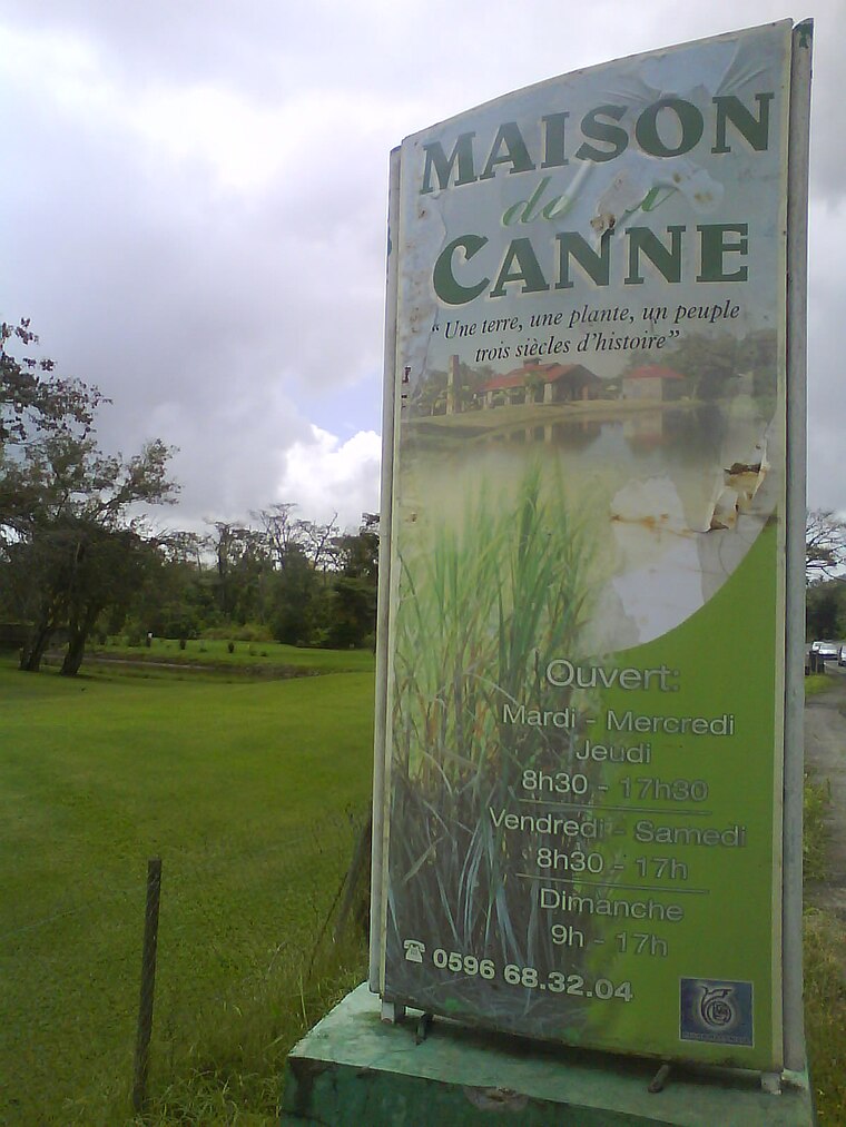
Photo: Jean-Louis Lascoux, CC BY-SA 3.0.
Maison de la canne is a museum, which is situated 4 km southeast of Les Tuileries 9064.
Places in the Area
Nearby places include Fort-de-France and Le Diamant.
Fort-de-France

Photo: Jean-Louis Lascoux, CC BY-SA 3.0.
Fort-de-France is the largest city in and capital of Martinique. The center, which is always somewhat crowded, extends to the seaside promenade where multiple bars and restaurants are in a typically French atmosphere.
Le Diamant

Photo: Monster1000, CC BY-SA 3.0.
Le Diamant is a town and commune in the French overseas department of Martinique.
Le Lamentin
Town

Photo: Maxime ✈, CC BY-SA 2.0.
Le Lamentin is a city and town, located in the French overseas department and region of Martinique. With its area of 62.32 km2, it is the town with the largest area in Martinique. Le Lamentin is situated 9 km northeast of Les Tuileries 9064.
Les Tuileries 9064
- Type: Electrical substation
- Category: industry
- Location: Trois-Ilets, Arrondissement du Marin, Martinique, Lesser Antilles, Caribbean, North America
- View on OpenStreetMap
Latitude
14.5481° or 14° 32′ 53″ northLongitude
-61.0564° or 61° 3′ 23″ westOpen location code
776WGWXV+6COpenStreetMap ID
node 6304351992
This page is based on OpenStreetMap, Wikidata, and Wikimedia Commons.
We’d love your help improving our open data sources. Thank you for contributing.
Satellite Map
Discover Les Tuileries 9064 from above in high-definition satellite imagery.
Notable Places Nearby
Highlights include Fort Alet and Embarcadère de l’Anse Mitan.
Nearby Places
Explore places such as Le Domaine des Tuileries and Résidence Occitane.
Martinique: Must-Visit Destinations
Delve into Fort-de-France, Saint-Pierre, Sainte-Anne, and Le Diamant.
Curious Electrical Substations to Discover
Uncover intriguing electrical substations from every corner of the globe.
About Mapcarta. Data © OpenStreetMap contributors and available under the Open Database License". Text is available under the CC BY-SA 4.0 license, except for photos, directions, and the map. Photo: Wikimedia, CC0.