Taylor Street & Bay Street
Taylor Street & Bay Street is a tram stop in San Francisco, Bay Area, California. Taylor Street & Bay Street is situated nearby to the government office Consulate General of the Republic of Indonesia, as well as near the nightclub Bimbo’s 365 Club.| Tap on a place to explore it |
- Type: Tram stop
- Also known as: “Taylor & Bay”
- Wheelchair access: no
Places of Interest Nearby
Highlights include Lombard Street and San Francisco Art Institute.
Lombard Street

Photo: Y6y6y6, Public domain.
Lombard Street is an east–west street in San Francisco, California, that is famous for a steep, one-block section with eight hairpin turns. The street stretches from The Presidio east to The Embarcadero. Lombard Street is situated 1,500 feet southwest of Taylor Street & Bay Street.
San Francisco Art Institute
University

Photo: FoxyOrange, CC BY-SA 3.0.
San Francisco Art Institute was a private college of contemporary art in San Francisco, California. Founded in 1871, SFAI was one of the oldest art schools in the United States and the oldest west of the Mississippi River. San Francisco Art Institute is situated 730 feet southwest of Taylor Street & Bay Street.
USS Pampanito
Museum

Photo: Sanfranman59, CC BY-SA 3.0.
USS Pampanito, a Balao-class submarine, is a United States Navy ship, the third named for the pompano fish. She completed six war patrols from 1944 to 1945 and served as a United States Naval Reserve training ship from 1960 to 1971. USS Pampanito is situated 1,800 feet north of Taylor Street & Bay Street.
Places in the Area
Nearby places include Fisherman’s Wharf and Russian Hill.
Fisherman’s Wharf

Photo: Miskatonic, CC BY-SA 3.0.
San Francisco's most popular destination among travelers, Fisherman's Wharf is the tourist center of the city. Its historic waterfront, once the hub of the city's fishing fleet, is still famous for the depth and variety of its harvest and for having some of the best seafood restaurants in the city, with scenic vistas over San Francisco Bay and Alcatraz Island.
Russian Hill
Neighborhood
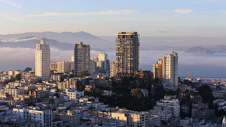
Photo: BDS2006, CC BY-SA 4.0.
Russian Hill is a neighborhood of San Francisco, California. It is named after one of San Francisco's 44 hills, and one of its original "Seven Hills".
North Beach
Quarter

Photo: Dschwen, CC BY-SA 2.5.
North Beach is a neighborhood in the northeast of San Francisco adjacent to Chinatown, the Financial District, and Russian Hill. The neighborhood is San Francisco's "Little Italy" and has historically been home to a large Italian American population, largely from Northern Italy.
Taylor Street & Bay Street
- Categories: railway stop, transport stop, and transportation
- Location: San Francisco, Bay Area, California, United States, North America
- View on OpenStreetMap
Latitude
37.80505° or 37° 48′ 18″ northLongitude
-122.41521° or 122° 24′ 55″ westOpen location code
849VRH4M+2WOpenStreetMap ID
node 6315233747OpenStreetMap feature
public_transport=stop_positionOpenStreetMap feature
railway=tram_stopOpenStreetMap attribute
wheelchair=no
This page is based on OpenStreetMap, Wikidata, and Wikimedia Commons.
We’d love your help improving our open data sources. Thank you for contributing.
Satellite Map
Discover Taylor Street & Bay Street from above in high-definition satellite imagery.
Notable Places Nearby
Highlights include Cable Car Turntable (Taylor & Bay) and Consulate General of the Republic of Indonesia.
Nearby Places
Explore places such as Taylor Street & Bay Street and Starbucks.
San Francisco: Must-Visit Destinations
Delve into Golden Gate, Chinatown-North Beach, Civic Center-Tenderloin, and Fisherman’s Wharf.
Curious Tram Stops to Discover
Uncover intriguing tram stops from every corner of the globe.
About Mapcarta. Data © OpenStreetMap contributors and available under the Open Database License". Text is available under the CC BY-SA 4.0 license, except for photos, directions, and the map. Photo: Wikimedia, CC BY-SA 3.0.