Rahyab Payam Gostaran
Rahyab Payam Gostaran is an office in Tehran, Central Iran. Rahyab Payam Gostaran is situated nearby to the park بوستان سیدجمالالدین اسدآبادی, as well as near Pamchal.| Tap on a place to explore it |
Places of Interest Nearby
Highlights include Tehran International Tower and Iran University of Medical Sciences.
Tehran International Tower
Apartment building

Photo: matin fattahi, CC BY 3.0.
Tehran International Tower is a 56-story residential tower in Tehran, Iran. It is the tallest residential building in Iran, and the second tallest building in Iran. Tehran International Tower is situated 600 metres south of Rahyab Payam Gostaran.
Iran University of Medical Sciences
University

Photo: Amirreza, CC BY-SA 3.0.
Iran University of Medical Sciences is a high ranked medical university in Iran. Located in Tehran, it was founded in 1974 under the name The Imperial Medical Center. Iran University of Medical Sciences is situated 1½ km west of Rahyab Payam Gostaran.
Argentina Square
Grassland
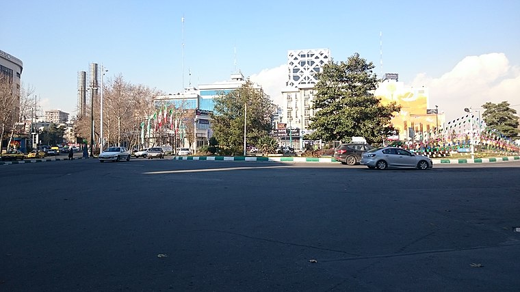
Photo: Ali Safdarian, CC BY 3.0.
Arjantin Square is a square in north central Tehran. The area around the square is home to embassies, businesses, Medical labs, hospitals and the Arjantin Beihaghi Bus Terminal, which is central Tehran's main national bus terminal. Argentina Square is situated 2 km southeast of Rahyab Payam Gostaran.
Places in the Area
Nearby places include District 6 and District 3.

District 3
Suburb

Photo: Wikimedia, CC BY-SA 2.0.
District 3 is a suburb, which is situated 3½ km northeast of Rahyab Payam Gostaran.
District 2
Suburb

Photo: Blondinrikard Fröberg, CC BY 2.0.
District 2 of Tehran Municipality, is one of 2 municipality districts of Tehran, which is located in Northeast of Azadi Sq. It stretches from West to Northwest and Azadi St. to South, to Ashrafi Esfahani Highway and Mohammad Ali Jenah Expressway to West, and Chamran Highway to East. District 2 is situated 4 km northwest of Rahyab Payam Gostaran.
Rahyab Payam Gostaran
- Type: Telecommunication company
- Category: office
- Location: Tehran, Central Iran, Iran, Middle East, Asia
- View on OpenStreetMap
Latitude
35.74786° or 35° 44′ 52″ northLongitude
51.40061° or 51° 24′ 2″ eastOpen location code
8H7HPCX2+46OpenStreetMap ID
node 6322426342OpenStreetMap feature
office=telecommunication
This page is based on OpenStreetMap, Wikidata, and Wikimedia Commons.
We’d love your help improving our open data sources. Thank you for contributing.
Satellite Map
Discover Rahyab Payam Gostaran from above in high-definition satellite imagery.
Notable Places Nearby
Highlights include بوستان سیدجمالالدین اسدآبادی and Pamchal.
Nearby Places
Explore places such as Shiraz Kebab House and Shahoo Ice-Cream Shop.
Tehran: Must-Visit Destinations
Delve into Tehran, Ray, Varamin, and Damavand.
Curious Places to Discover
Uncover intriguing places from every corner of the globe.
About Mapcarta. Data © OpenStreetMap contributors and available under the Open Database License". Text is available under the CC BY-SA 4.0 license, except for photos, directions, and the map. Photo: Wikimedia, CC0.