Durker Roods Hotel
Durker Roods Hotel is a hotel in Meltham, Kirklees, England. Durker Roods Hotel is situated nearby to the forest Meltham Pleasure Grounds, as well as near Meltham Mills Playground.| Tap on a place to explore it |
Places of Interest Nearby
Highlights include St Mary’s Church and Christ Church.

Digley Reservoir
Reservoir
Digley Reservoir is a reservoir located downstream of Bilberry Reservoir, 2 miles south west of Holmfirth, in West Yorkshire, England. The reservoir was planned during the 1930s, with much land being bought for its construction, but it was not completed until 1954. Digley Reservoir is situated 2 miles south of Durker Roods Hotel.
Places in the Area
Nearby places include Meltham and Helme.
Meltham
Town

Photo: Wikimedia, CC BY-SA 2.5.
Meltham is a town and civil parish within the Metropolitan Borough of Kirklees, in West Yorkshire, England. It lies in the Holme Valley, below Wessenden Moor, 5 miles south-west of Huddersfield on the edge of the Peak District National Park.
Helme
Hamlet
Helme is a village in the civil parish of Meltham, in the Kirklees district, in the county of West Yorkshire, England. It is near the town of Meltham and Blackmoorfoot Reservoir. Helme, constituted in 1858, was part of Almondbury parish in the 19th century.
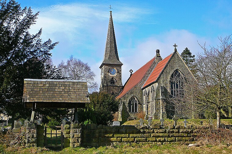
South Crosland
Village
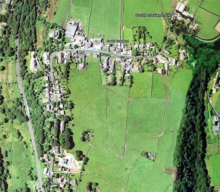
Photo: Wikimedia, Public domain.
South Crosland is a village in the metropolitan borough of Kirklees in West Yorkshire, England. South Crosland is situated 1½ miles north of Durker Roods Hotel.
Durker Roods Hotel
- Type: Hotel
- Categories: tourism, accommodation, and building
- Location: Meltham, Kirklees, England, United Kingdom, Britain and Ireland, Europe
- View on OpenStreetMap
Latitude
53.59155° or 53° 35′ 30″ northLongitude
-1.84326° or 1° 50′ 36″ westOpen location code
9C5WH5R4+JMOpenStreetMap ID
node 6337863817OpenStreetMap feature
tourism=hotel
This page is based on OpenStreetMap, Wikidata, and Wikimedia Commons.
We’d love your help improving our open data sources. Thank you for contributing.
Satellite Map
Discover Durker Roods Hotel from above in high-definition satellite imagery.
Notable Places Nearby
Highlights include Meltham Pleasure Grounds and Meltham Mills Playground.
Nearby Places
Explore places such as Bishops Way care home and Greenacres Care Home.
England: Must-Visit Destinations
Delve into London, Manchester, Sheffield, and Leeds.
Curious Hotels to Discover
Uncover intriguing hotels from every corner of the globe.
About Mapcarta. Data © OpenStreetMap contributors and available under the Open Database License". Text is available under the CC BY-SA 4.0 license, except for photos, directions, and the map. Photo: sidibousaid, CC BY 2.0.