Etangs de pêche de Ribeauvillé
Etangs de pêche de Ribeauvillé is a fishing area in Bergheim, Arrondissement de Colmar-Ribeauvillé, Grand Est. Etangs de pêche de Ribeauvillé is situated nearby to Ferme du Rotenberg, as well as near the garden Jardins Partagés.| Tap on a place to explore it |
Places of Interest Nearby
Highlights include Hôtel de ville de Bergheim, Haut-Rhin and Église Notre-Dame de l’Assomption.
Hôtel de ville de Bergheim, Haut-Rhin
Town hall

Photo: Psu973, CC BY-SA 3.0.
Hôtel de ville de Bergheim, Haut-Rhin is a town hall, which is situated 1½ km northeast of Etangs de pêche de Ribeauvillé.
Église Notre-Dame de l’Assomption
Church

Photo: Philippe sosson, CC BY 2.0.
Notre-Dame de l′Assomption is a Catholic parish church in the small town of Bergheim, in the Haut-Rhin department of France. It is classified as a Monument historique since 1985. Église Notre-Dame de l’Assomption is situated 1½ km northeast of Etangs de pêche de Ribeauvillé.
Musée de Bergheim
Historic building
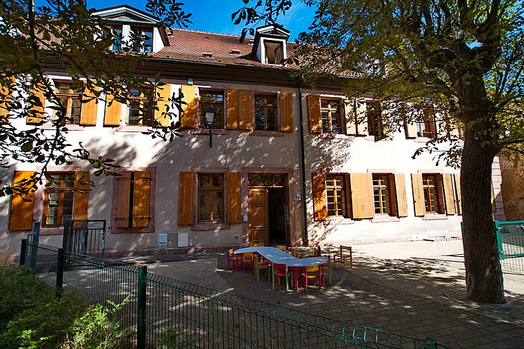
Photo: Psu973, CC BY-SA 3.0.
Musée de Bergheim is a historic building, which is situated 1½ km northeast of Etangs de pêche de Ribeauvillé.
Places in the Area
Nearby places include Ribeauvillé and Rorschwihr.
Ribeauvillé

Photo: Awarring, CC BY-SA 4.0.
Ribeauvillé is one of the prettiest towns in Alsace. It was first mentioned in 768 AD. It was the property of the Dukes of Alsace, the Counts of Equisheim, the Emperor of Germany and the Bishop of Basel.
Rorschwihr
Village

Photo: Wikimedia, CC BY-SA 3.0.
Rorschwihr is a commune in the Haut-Rhin department in Grand Est in north-eastern France. It is part of the Alsace wine route. Rorschwihr is situated 3 km north of Etangs de pêche de Ribeauvillé.
Rodern
Village

Photo: Wikimedia, CC BY-SA 3.0.
Rodern is a commune in the Haut-Rhin department in Grand Est in north-eastern France. Rodern is situated 3½ km north of Etangs de pêche de Ribeauvillé.
Etangs de pêche de Ribeauvillé
- Type: Fishing area
- Categories: recreation area and sports location
- Location: Bergheim, Arrondissement de Colmar-Ribeauvillé, Haut-Rhin, Grand Est, France, Europe
- View on OpenStreetMap
Latitude
48.19387° or 48° 11′ 38″ northLongitude
7.34834° or 7° 20′ 54″ eastOpen location code
8FW958VX+G8OpenStreetMap ID
node 6337996359OpenStreetMap feature
leisure=fishing
This page is based on OpenStreetMap, Wikidata, and Wikimedia Commons.
We’d love your help improving our open data sources. Thank you for contributing.
Satellite Map
Discover Etangs de pêche de Ribeauvillé from above in high-definition satellite imagery.
Notable Places Nearby
Highlights include Ferme du Rotenberg and Jardins Partagés.
Nearby Places
Explore places such as Jardins partagés and Chocolaterie Daniel Stoffel.
Grand Est: Must-Visit Destinations
Delve into Strasbourg, Reims, Metz, and Nancy.
Curious Fishing Areas to Discover
Uncover intriguing fishing areas from every corner of the globe.
About Mapcarta. Data © OpenStreetMap contributors and available under the Open Database License". Text is available under the CC BY-SA 4.0 license, except for photos, directions, and the map. Photo: Wernain Samuel, CC BY-SA 3.0.