Clean Hearts
Clean Hearts is a café in Tower Hamlets, Greater London, England which is located on Commercial Road. Clean Hearts is situated nearby to the park Chaucer Gardens, as well as near ICON College.| Tap on a place to explore it |
- Opening hours:
Monday—Friday: 7:00 AM—7:00 PM
Saturday—Sunday: 8:00 AM—6:00 PM - Type: Café
- Cuisine: breakfast and sandwich
- Address: 52 Commercial Road, London, E1 1LP
Places of Interest Nearby
Highlights include The Tower of London and Tower Bridge.
The Tower of London

Photo: Aniacra, CC BY-SA 4.0.
The Tower of London, officially His Majesty's Royal Palace and Fortress of the Tower of London, is a historic citadel and castle on the north bank of the River Thames in London, England. The Tower of London is situated 3,100 feet southwest of Clean Hearts.
Tower Bridge
Bridge

Photo: Barcex, CC BY-SA 3.0.
Tower Bridge is a Grade I listed combined bascule, suspension, and, until 1960, cantilever bridge in London, built between 1886 and 1894, designed by Horace Jones and engineered by John Wolfe Barry with the help of Henry Marc Brunel. Tower Bridge is situated 3,800 feet southwest of Clean Hearts.
Brick Lane
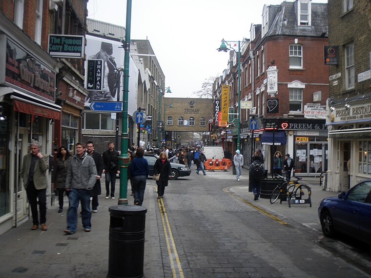
Photo: Gons, CC BY-SA 4.0.
Brick Lane is a street in the East End of London, in the borough of Tower Hamlets. It runs from Swanfield Street in Bethnal Green in the north, crosses the Bethnal Green Road before reaching the busiest, most commercially active part which runs through Spitalfields, or along its eastern edge. Brick Lane is situated 1,200 feet northwest of Clean Hearts.
Places in the Area
Nearby places include Whitechapel and St George in the East.
Whitechapel
Suburb
 Whitechapel is an area in the London Borough of Tower Hamlets, London, England. It is in east London and part of the East End. It is the location of Tower Hamlets Town Hall and, therefore, the borough town centre.
St George in the East
Quarter

Photo: Klusiwurm, Public domain.
St George in the East, historically known as Wapping-Stepney, was an ancient parish, in the London Borough of Tower Hamlets, England. The place name is no longer widely used.
Aldgate Ward
Quarter

Photo: Wikimedia, Public domain.
Aldgate was a gate in the former defensive wall around the City of London. The gate gave its name to Aldgate High Street, the first stretch of the A11 road, that takes that name as it passes through the ancient, extramural Portsoken Ward of the City of London.
Clean Hearts
Latitude
51.51479° or 51° 30′ 53″ northLongitude
-0.06778° or 0° 4′ 4″ westOpen location code
9C3XGW7J+WVOpenStreetMap ID
node 6341182394OpenStreetMap feature
amenity=cafeOpenStreetMap attribute
cuisine=breakfastOpenStreetMap attribute
cuisine=sandwich
This page is based on OpenStreetMap, Wikidata, and Wikimedia Commons.
We’d love your help improving our open data sources. Thank you for contributing.
Satellite Map
Discover Clean Hearts from above in high-definition satellite imagery.
Notable Places Nearby
Highlights include Chaucer Gardens and ICON College.
Nearby Places
Explore places such as E1 Local and The Warehouse.
England: Must-Visit Destinations
Delve into London, Manchester, Sheffield, and Leeds.
Curious Cafés to Discover
Uncover intriguing cafés from every corner of the globe.
About Mapcarta. Data © OpenStreetMap contributors and available under the Open Database License". Text is available under the CC BY-SA 4.0 license, except for photos, directions, and the map. Photo: sidibousaid, CC BY 2.0.