Choice Clearance
Choice Clearance is a clothing store in Hatfield, Hertfordshire, England. Choice Clearance is situated nearby to the recreation area Get Wild!, as well as near Hatfield Galleria Post Office.| Tap on a place to explore it |
Places of Interest Nearby
Highlights include The Galleria and Harpsfield Hall (JD Wetherspoon).
The Galleria
Shopping center

Photo: Barry Lawson, CC BY-SA 2.0.
The Galleria is a designer outlet centre in Hatfield, Hertfordshire in South-East England.
Harpsfield Hall (JD Wetherspoon)
Pub

Photo: Ian S, CC BY-SA 2.0.
Harpsfield Hall (JD Wetherspoon) is a pub, which is situated 570 feet north of Choice Clearance.
The Comet Public House
Hotel

Photo: Rcsprinter123, CC BY 3.0.
The Comet Public House is a hotel, which is situated 950 feet west of Choice Clearance.
Places in the Area
Nearby places include Old Hatfield and Sleapshyde.
Old Hatfield
Suburb
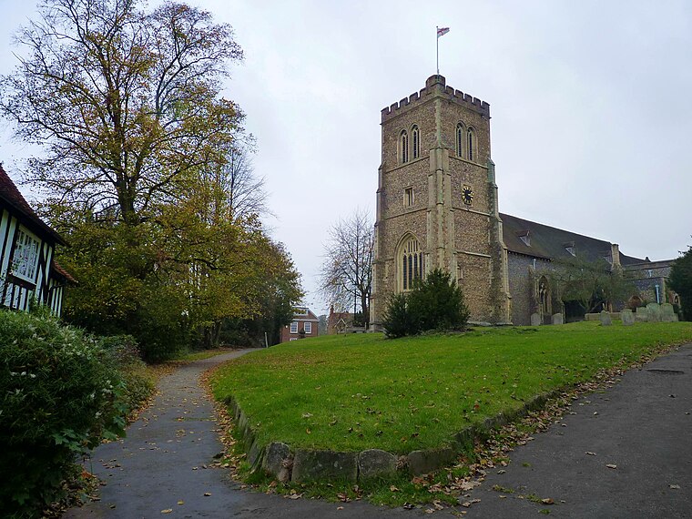
Photo: Cmglee, CC BY-SA 3.0.
Old Hatfield, sometimes called Bishops Hatfield, is a historic village in Hertfordshire, England. It is in the town of Hatfield. It grew up on the Great North Road, one day's journey from London by horse or coach and once had many coaching inns.
Sleapshyde
Hamlet
Sleapshyde is a small village in Hertfordshire, United Kingdom. It is located between Hatfield and St Albans, to the south of Smallford and to the north of Colney Heath, of which it is located in the civil parish of.
Smallford
Hamlet

Photo: Jack Hill, CC BY-SA 2.0.
Smallford is a village in the City and District of St Albans, Hertfordshire, United Kingdom. It is sandwiched between Hatfield and St Albans. It was served by Smallford railway station on the Hatfield and St Albans Railway, now the Alban Way cycle path.
Choice Clearance
- Type: Clothing store
- Category: shop
- Location: Hatfield, Welwyn Hatfield, Hertfordshire, East of England, England, United Kingdom, Britain and Ireland, Europe
- View on OpenStreetMap
Latitude
51.76101° or 51° 45′ 40″ northLongitude
-0.24007° or 0° 14′ 24″ westOpen location code
9C3XQQ65+CXOpenStreetMap ID
node 6346182552OpenStreetMap feature
shop=clothes
This page is based on OpenStreetMap, Wikidata, and Wikimedia Commons.
We’d love your help improving our open data sources. Thank you for contributing.
Satellite Map
Discover Choice Clearance from above in high-definition satellite imagery.
Notable Places Nearby
Highlights include Get Wild! and Hatfield Galleria Post Office.
Nearby Places
Explore places such as ProCook and Sweet Emporium.
Hertfordshire: Must-Visit Destinations
Delve into St Albans, Watford, Stevenage, and Hertford.
Curious Clothing Stores to Discover
Uncover intriguing clothing stores from every corner of the globe.
About Mapcarta. Data © OpenStreetMap contributors and available under the Open Database License". Text is available under the CC BY-SA 4.0 license, except for photos, directions, and the map. Photo: RobThinks, CC BY-SA 4.0.