Kanalarmen (B)
Kanalarmen (B) is a bus stop in Sola, Rogaland, Western Norway. Kanalarmen (B) is situated nearby to the sports venue Vår Energi Arena, as well as near the government office Stavanger trafikkstasjon.| Tap on a place to explore it |
Places of Interest Nearby
Highlights include Viking Stadion and Gausel Church.
Viking Stadion
Stadium

Photo: Btd, CC BY-SA 2.5.
Viking Stadion, is a football stadium in Stavanger, Norway. It was inaugurated in May 2004 and cost 160 million NOK to build. 50 million NOK, plus the lot it was built on, was a gift from the municipality. Viking Stadion is situated 3 km northeast of Kanalarmen (B).
Gausel Church
Church
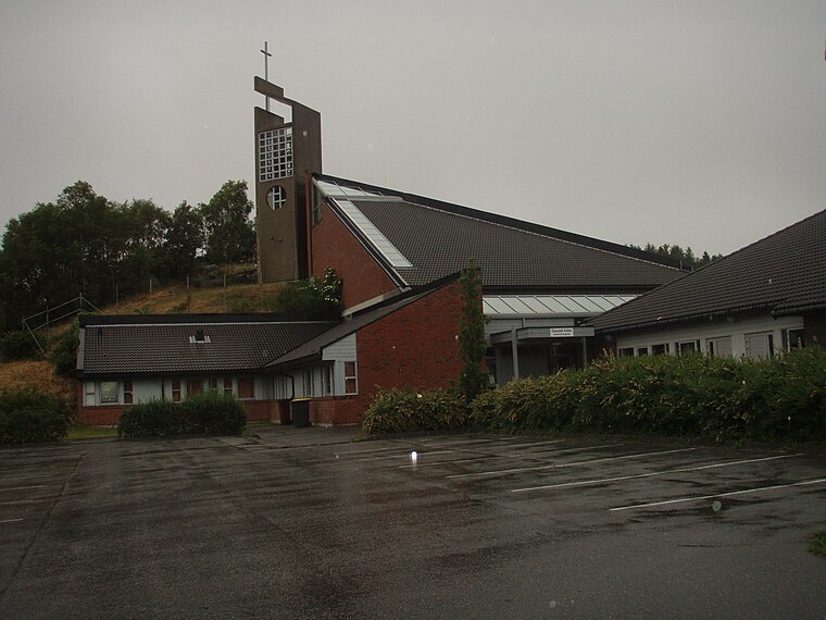
Photo: Wikimedia, Public domain.
Gausel Church is a parish church of the Church of Norway in the southern part of the large Stavanger Municipality in Rogaland county, Norway. It is located in the Gausel neighborhood in the borough of Hinna in the southern part of the city of Stavanger. Gausel Church is situated 2 km east of Kanalarmen (B).

Places in the Area
Nearby places include Forus and Sandnes.
Forus
Suburb

Photo: Btd, CC BY-SA 2.5.
Forus is an industrial district in the city of Stavanger which lies in the southwestern part of the large municipality of Stavanger in Rogaland county, Norway. Forus is situated 2½ km east of Kanalarmen (B).
Sandnes
 Sandnes is a town in Rogaland. Sandnes is part of the flat geographical area Jæren that goes from Brusand in the south to Randaberg in the north. The village of Hommersåk is covered separately.
Kanalarmen (B)
- Type: Bus stop
- Category: transportation
- Location: Sola, Rogaland, Western Norway, Norway, Nordic countries, Europe
- View on OpenStreetMap
Latitude
58.89547° or 58° 53′ 44″ northLongitude
5.68827° or 5° 41′ 18″ eastOpen location code
9FC7VMWQ+58OpenStreetMap ID
node 6373613280OpenStreetMap feature
highway=bus_stop
This page is based on OpenStreetMap, Wikidata, and Wikimedia Commons.
We’d love your help improving our open data sources. Thank you for contributing.
Satellite Map
Discover Kanalarmen (B) from above in high-definition satellite imagery.
Notable Places Nearby
Highlights include Vår Energi Arena and Stavanger trafikkstasjon.
Nearby Places
Explore places such as Kanalarmen (A) and Time and Date.
Rogaland: Must-Visit Destinations
Delve into Stavanger, Haugesund, Sandnes, and Forsand.
Curious Bus Stops to Discover
Uncover intriguing bus stops from every corner of the globe.
About Mapcarta. Data © OpenStreetMap contributors and available under the Open Database License". Text is available under the CC BY-SA 4.0 license, except for photos, directions, and the map. Photo: Ritchyblack, CC BY-SA 3.0.