An der Bahnstrift
An der Bahnstrift is a locality in Hanover, Hanover Region, Lower Saxony. An der Bahnstrift is situated nearby to the locality Holzwiesen, as well as near the suburb Vahrenheide.| Tap on a place to explore it |
Places of Interest
Highlights include Playground Staakenweg and Silbersee.

Silbersee
Lake
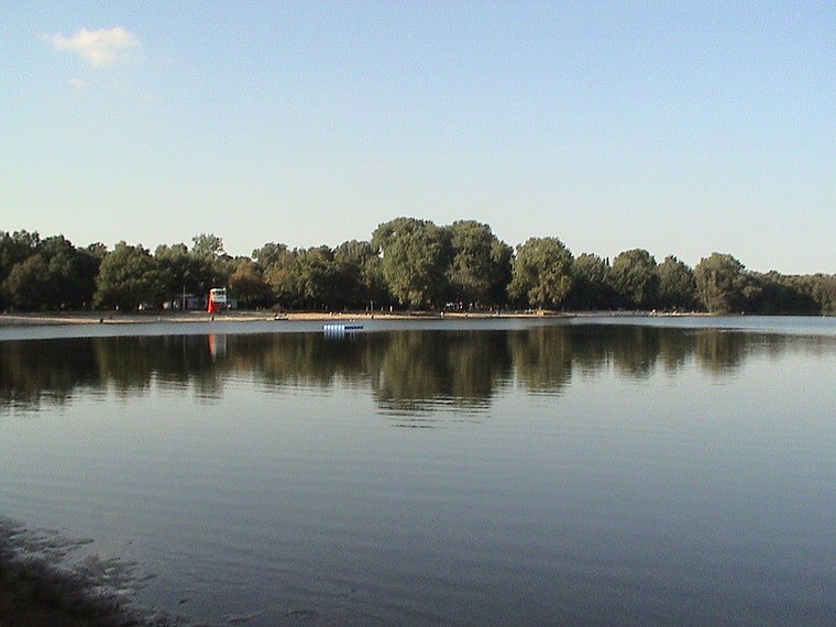
Photo: Georgios Ivankof, Public domain.
Silbersee is a lake in Langenhagen, Lower Saxony, Germany.

Places in the Area
Nearby places include Wiesenau and Langenhagen.
Wiesenau
Suburb

Photo: Nortix08, CC BY-SA 4.0.
Wiesenau is a suburb, which is situated 3 km west of An der Bahnstrift.
Langenhagen
Town

Photo: Fischchen, CC BY-SA 3.0.
Langenhagen is a town in the Hanover district of Lower Saxony, Germany. Langenhagen is situated 3 km northwest of An der Bahnstrift.
Grasdachsiedlung Laher Wiesen
Neighborhood

Photo: Raboe001, CC BY-SA 3.0.
Grasdachsiedlung Laher Wiesen is a neighborhood, which is situated 3 km east of An der Bahnstrift.
An der Bahnstrift
- Type: Locality
- Location: Hanover, Hanover Region, Lower Saxony, Germany, Central Europe, Europe
- View on OpenStreetMap
Latitude
52.42372° or 52° 25′ 25″ northLongitude
9.76576° or 9° 45′ 57″ eastOpen location code
9F4FCQF8+F8OpenStreetMap ID
node 638449598OpenStreetMap feature
place=locality
This page is based on OpenStreetMap, Wikidata, and Wikimedia Commons.
We’d love your help improving our open data sources. Thank you for contributing.
Satellite Map
Discover An der Bahnstrift from above in high-definition satellite imagery.
Localities in the Area
Explore places such as Holzwiesen and Vahrenheide.
Notable Places Nearby
Highlights include Playground Tegelweg and Modellfluggelände des Hannoverschen Aero-Club e.V..
Hanover Region: Must-Visit Destinations
Delve into Hanover, Hildesheim, Nienburg, and Verden an der Aller.
Curious Localities to Discover
Uncover intriguing localities from every corner of the globe.
About Mapcarta. Data © OpenStreetMap contributors and available under the Open Database License". Text is available under the CC BY-SA 4.0 license, except for photos, directions, and the map. Photo: Ukko.de, CC BY-SA 3.0.