Eagle Farm
Eagle Farm is a suburb in Wavendon, Milton Keynes, England. Eagle Farm is situated nearby to the village Salford, as well as near the neighborhood Magna Park.| Tap on a place to explore it |
Places of Interest
Highlights include Aspley Guise railway station and Woburn Sands railway station.
Aspley Guise railway station
Railway station

Photo: Mr Biz, CC BY-SA 2.0.
Aspley Guise railway station serves the village of Aspley Guise in Bedfordshire, England. It is on the Bletchley – Bedford Marston Vale Line. The station is served by West Midlands Trains local services, operating under the London Northwestern Railway brand.
Woburn Sands railway station
Railway station
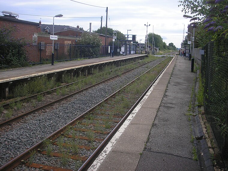
Photo: Tom walker, CC BY 3.0.
Woburn Sands railway station serves the town of Woburn Sands and the village of Wavendon in the City of Milton Keynes in Buckinghamshire, England. The station is on the Marston Vale line between Bedford and Bletchley, about 4 miles east of Bletchley station.
Church of St Nicholas, Hulcote, Bedfordshire
Church

Photo: Richard Schmidt, CC BY-SA 2.0.
Church of St Nicholas is a Grade I listed church in Hulcote, Bedfordshire, England. It became a listed building on 23 January 1961.
Places in the Area
Nearby places include Salford and Kingston.
Salford
Village

Photo: Philip Jeffrey, CC BY-SA 2.0.
Salford is a village and former civil parish, now in the parish of Hulcote and Salford, in the Central Bedfordshire district, in the ceremonial county of Bedfordshire, England.
Kingston
Suburb
Kingston is a district in the east side of Milton Keynes, in the civil parish of Kents Hill, Monkston and Brinklow. Kingston District Centre is a large retail development that serves this side of the Milton Keynes urban area.
Woburn Sands
Town

Photo: Cnyborg, CC BY-SA 3.0.
Woburn Sands is a town that straddles the border between Buckinghamshire and Bedfordshire in England, and is part of the Milton Keynes urban area. The larger part of the town is in Woburn Sands civil parish, which is in the City of Milton Keynes, Smaller parts of the town are in the neighbouring parishes of Aspley Guise and Aspley Heath. Woburn Sands is situated 1½ miles south of Eagle Farm.
Eagle Farm
- Type: Suburb
- Category: locality
- Location: Wavendon, Milton Keynes, England, United Kingdom, Britain and Ireland, Europe
- View on OpenStreetMap
Latitude
52.03534° or 52° 2′ 7″ northLongitude
-0.64998° or 0° 38′ 60″ westOpen location code
9C4X29P2+42OpenStreetMap ID
node 6395944903OpenStreetMap feature
place=suburb
This page is based on OpenStreetMap, Wikidata, and Wikimedia Commons.
We’d love your help improving our open data sources. Thank you for contributing.
Satellite Map
Discover Eagle Farm from above in high-definition satellite imagery.
Places with the Same Name
Discover other places named “Eagle Farm”.
Localities in the Area
Explore places such as Magna Park and Hulcot.
Notable Places Nearby
Highlights include Eagle Farm Wetlands and Fox Covert.
England: Must-Visit Destinations
Delve into London, Manchester, Sheffield, and Leeds.
Curious Suburbs to Discover
Uncover intriguing suburbs from every corner of the globe.
About Mapcarta. Data © OpenStreetMap contributors and available under the Open Database License". Text is available under the CC BY-SA 4.0 license, except for photos, directions, and the map. Photo: sidibousaid, CC BY 2.0.