#793 Dawson Street, Nassau Street
#793 Dawson Street, Nassau Street is a bus stop in Dublin, Leinster. #793 Dawson Street, Nassau Street is situated nearby to the library Royal Irish Academy, as well as near St. Ann’s Church, Dawson Street.| Tap on a place to explore it |
Places of Interest Nearby
Highlights include Royal Irish Academy and Mansion House.
Royal Irish Academy
Library

Photo: KarenRIA, CC BY-SA 4.0.
The Royal Irish Academy, based in Dublin, is an academic body that promotes study in the natural sciences, arts, literature, and social sciences. It is Ireland's premier learned society and one of its leading cultural and academic institutions.
Mansion House
Town hall

Photo: YvonneM, CC BY-SA 3.0.
The Mansion House is a house on Dawson Street, Dublin, which has been the official residence of the Lord Mayor of Dublin since 1715, and was also the meeting place of the Dáil Éireann from 1919 until 1922.
National Library of Ireland
Library
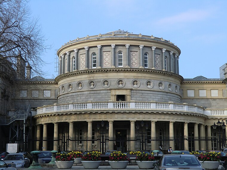
Photo: YvonneM, CC BY-SA 3.0.
The National Library of Ireland is Ireland's national library located in Dublin, in a building designed by Thomas Newenham Deane. The mission of the National Library of Ireland is "To collect, preserve, promote and make accessible the documentary and… National Library of Ireland is situated 260 metres east of #793 Dawson Street, Nassau Street.
Places in the Area
Nearby places include Temple Bar and Portobello.
Temple Bar
Quarter
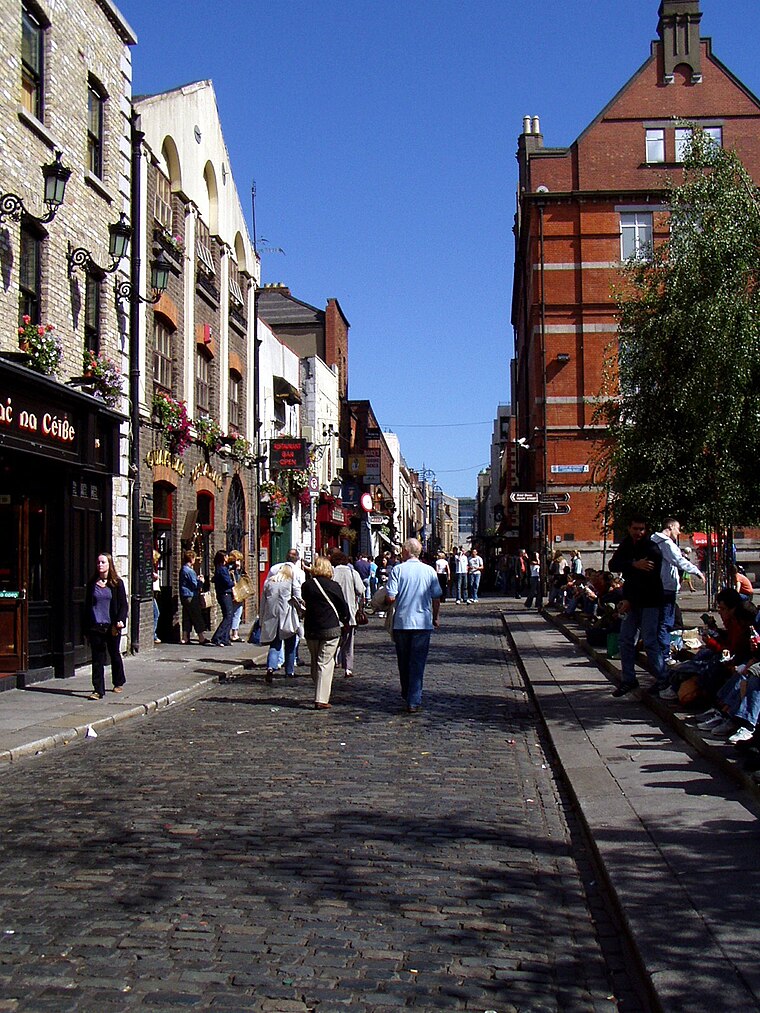
Photo: Wikimedia, Public domain.
Dublin is the capital city of Ireland. Its vibrancy, nightlife and tourist attractions are world renowned and it's the most popular entry point for international visitors to Ireland.
Portobello
Suburb

Photo: Wikimedia, Public domain.
Portobello is an area of Dublin in Ireland, within the southern city centre and bounded to the south by the Grand Canal. It came into existence as a small suburb south of the city in the 18th century, centred on Richmond Street.
International Financial Services Centre
Quarter

Photo: Sebb, Public domain.
The International Financial Services Centre is an area of central Dublin and part of the CBD established in the 1980s as an urban regeneration area and special economic zone on the derelict state-owned former port authority lands of the reclaimed North Wall and George's Dock areas of the Dublin Docklands.
#793 Dawson Street, Nassau Street
- Type: Bus stop
- Categories: transport stop and transportation
- Location: Dublin, Leinster, Ireland, Britain and Ireland, Europe
- View on OpenStreetMap
Latitude
53.34072° or 53° 20′ 27″ northLongitude
-6.25843° or 6° 15′ 30″ westOperator
Dublin BusNetwork
National Transport AuthorityOpen location code
9C5M8PRR+7JOpenStreetMap ID
node 6395994405OpenStreetMap feature
public_transport=stop_position
This page is based on OpenStreetMap, Wikidata, and Wikimedia Commons.
We’d love your help improving our open data sources. Thank you for contributing.
Satellite Map
Discover #793 Dawson Street, Nassau Street from above in high-definition satellite imagery.
Notable Places Nearby
Highlights include St. Ann’s Church, Dawson Street and Royal Irish Academy.
Nearby Places
Explore places such as #793 Dawson Street, Nassau Street and Café en Seine.
Ireland: Must-Visit Destinations
Delve into Cork, Limerick, Galway, and Waterford.
Curious Bus Stops to Discover
Uncover intriguing bus stops from every corner of the globe.
About Mapcarta. Data © OpenStreetMap contributors and available under the Open Database License". Text is available under the CC BY-SA 4.0 license, except for photos, directions, and the map. Photo: Wikimedia, CC0.