#220 Swords Road, Shantalla Road
#220 Swords Road, Shantalla Road is a bus stop in Dublin, Leinster. #220 Swords Road, Shantalla Road is situated nearby to the community center Whitehall Scout Hall, as well as near the sports venue St. Kevin’s Football Club.| Tap on a place to explore it |
Places of Interest Nearby
Highlights include Ellenfield Park and The Helix.
Ellenfield Park
Park
Ellenfield Park is a public park in Whitehall, Dublin, managed by Dublin City Council's parks department. Ellenfield Park is situated 370 metres southeast of #220 Swords Road, Shantalla Road.
The Helix
Theater building

Photo: Beta, Public domain.
The Helix, formally The Helix Centre for the Performing Arts, is a multi-purpose venue located on the Dublin City University main campus in Glasnevin, Dublin. The Helix is situated 1 km west of #220 Swords Road, Shantalla Road.
Santry
Stadium

Photo: Peter Gerken, CC BY-SA 2.0.
Morton Stadium, or the National Athletics Stadium, is an athletics stadium in Santry Demesne, Santry in Ireland. Often called Santry Stadium, it is the centre for athletics events in Dublin city and the home track of Clonliffe Harriers. Santry is situated 1½ km north of #220 Swords Road, Shantalla Road.
Places in the Area
Nearby places include Whitehall and Beaumont.
Whitehall
Suburb

Photo: Peter Gerken, CC BY-SA 2.0.
Whitehall is a Northside suburb of Dublin City, Ireland. Whitehall is a residential area on the northern outskirts of Dublin's inner city, located near the M1 motorway leading to Dublin Airport, Swords and Belfast.
Beaumont
Suburb
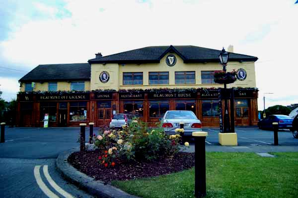
Photo: sarah gallagher, CC BY-SA 2.0.
Beaumont is a northside suburb of Dublin city, Ireland, bordered by Donnycarney, Santry and Artane. It lies within the postal district of Dublin 9.
Santry
Suburb

Photo: Peter Gerken, CC BY-SA 2.0.
Santry is a suburb on the northside of Dublin, Ireland, bordering Coolock, Glasnevin, Kilmore and Ballymun. It straddles the boundary of Dublin City Council and Fingal County Council jurisdictions.
#220 Swords Road, Shantalla Road
- Type: Bus stop
- Categories: transport stop and transportation
- Location: Dublin, Leinster, Ireland, Britain and Ireland, Europe
- View on OpenStreetMap
Latitude
53.38799° or 53° 23′ 17″ northLongitude
-6.24492° or 6° 14′ 42″ westOperator
Dublin BusNetwork
National Transport AuthorityOpen location code
9C5M9QQ4+52OpenStreetMap ID
node 6396507862OpenStreetMap feature
public_transport=stop_position
This page is based on OpenStreetMap, Wikidata, and Wikimedia Commons.
We’d love your help improving our open data sources. Thank you for contributing.
Satellite Map
Discover #220 Swords Road, Shantalla Road from above in high-definition satellite imagery.
Notable Places Nearby
Highlights include Whitehall Scout Hall and St. Kevin’s Football Club.
Nearby Places
Explore places such as #220 Swords Road, Shantalla Road and Molloy Dentist.
Ireland: Must-Visit Destinations
Delve into Cork, Limerick, Galway, and Waterford.
Curious Bus Stops to Discover
Uncover intriguing bus stops from every corner of the globe.
About Mapcarta. Data © OpenStreetMap contributors and available under the Open Database License". Text is available under the CC BY-SA 4.0 license, except for photos, directions, and the map. Photo: Wikimedia, CC0.