COLVEN
COLVEN is a clothing store in Barrio Sur, Colón District. COLVEN is situated nearby to the government office Ministerio de Obras Públicas División de Colón, as well as near Administración Zona Libre.| Tap on a place to explore it |
Places of Interest Nearby
Highlights include Estadio Roberto Mariano Bula and Cuartel de Bomberos de Colón.
Estadio Roberto Mariano Bula
Stadium

Photo: jacf18, CC BY-SA 2.0.
Estadio Roberto Mariano Bula is a stadium, which is situated 530 metres north of COLVEN.
Cuartel de Bomberos de Colón
Fire station

Photo: SandySB, CC BY-SA 3.0.
Cuartel de Bomberos de Colón is a fire station, which is situated 640 metres northwest of COLVEN.
Edificio de Administración de Cristóbal
Historic building

Photo: Daniestrada01, CC BY-SA 3.0.
Edificio de Administración de Cristóbal is a historic building, which is situated 1 km west of COLVEN.
Places in the Area
Nearby places include Colon and Fort Gulick.
Colon
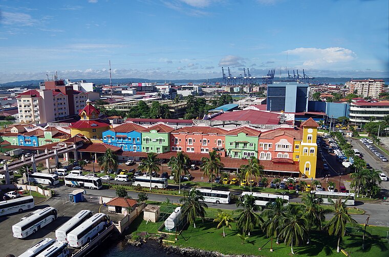
Photo: Balou46, CC BY-SA 4.0.
Colón is a city in Central Panama. It's the Caribbean end of the Panama Canal. The town is in poor condition and notorious for its high crime rate, but it is worth driving around to look at the culture, people and architecture.
Fort Gulick
Hamlet
Fort Gulick was a United States Army base in the former Panama Canal Zone located on the Atlantic side of the Panama Canal near Fort Davis, on Gatun Lake. Fort Gulick is situated 5 km southeast of COLVEN.
Fort Sherman
Hamlet
Fort Sherman is a former United States Army base in Panama, located on Toro Point at the Caribbean end of the Panama Canal, on the western bank of the Canal directly opposite Colón. Fort Sherman is situated 6 km west of COLVEN.
COLVEN
- Type: Clothing store
- Category: shop
- Location: Barrio Sur, Colón District, Colon, Panama, Central America, North America
- View on OpenStreetMap
Latitude
9.35143° or 9° 21′ 5″ northLongitude
-79.89533° or 79° 53′ 43″ westOpen location code
67X29423+HVOpenStreetMap ID
node 6436744087OpenStreetMap feature
shop=clothes
This page is based on OpenStreetMap, Wikidata, and Wikimedia Commons.
We’d love your help improving our open data sources. Thank you for contributing.
Satellite Map
Discover COLVEN from above in high-definition satellite imagery.
Notable Places Nearby
Highlights include Ministerio de Obras Públicas División de Colón and Administración Zona Libre.
Nearby Places
Explore places such as La Primavera and DAYLI. Material de Oficina.
Panama: Must-Visit Destinations
Delve into Panama City, Colon, Coiba National Marine Park, and Darién National Park.
Curious Clothing Stores to Discover
Uncover intriguing clothing stores from every corner of the globe.
About Mapcarta. Data © OpenStreetMap contributors and available under the Open Database License". Text is available under the CC BY-SA 4.0 license, except for photos, directions, and the map. Photo: Xeas23, CC BY-SA 3.0.