Hochbehälter Pölleritzerwiese
Hochbehälter Pölleritzerwiese is a reservoir in Breitenfurt bei Wien, Mödling District, Lower Austria. Hochbehälter Pölleritzerwiese is situated nearby to the locality Wiener Bürgerspitalswald, as well as near the neighborhood Roter Stadl.| Tap on a place to explore it |
Places of Interest
Highlights include Eichkogel and Pfarrhof Kaltenleutgeben.
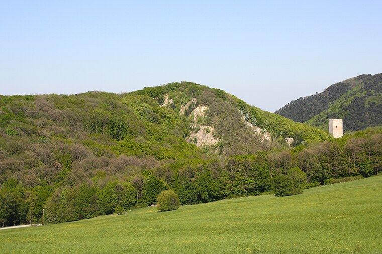
Pfarrhof Kaltenleutgeben
Public building

Photo: Ailura, CC BY-SA 3.0.
Pfarrhof Kaltenleutgeben is a public building.

Places in the Area
Nearby places include Perchtoldsdorf and Weissenbach bei Mödling.
Perchtoldsdorf

Photo: HeinzLW, CC BY-SA 3.0 at.
Perchtoldsdorf is in Lower Austria. It is a small town south of Vienna on the eastern fringes of the Vienna Woods, best known for its wine.
Weissenbach bei Mödling
Village

Photo: Wikimedia, CC BY-SA 4.0.
Weissenbach bei Mödling is a village.
Siedlung Auhofer Trennstück
Neighborhood

Photo: Funke, CC BY-SA 3.0.
Siedlung Auhofer Trennstück is a neighborhood.
Hochbehälter Pölleritzerwiese
- Type: Reservoir
- Category: body of water
- Location: Breitenfurt bei Wien, Mödling District, Lower Austria, Austria, Central Europe, Europe
- View on OpenStreetMap
Latitude
48.1305° or 48° 7′ 50″ northLongitude
16.2049° or 16° 12′ 18″ eastOpen location code
8FWR46J3+6XOpenStreetMap ID
node 649243324OpenStreetMap feature
man_made=reservoir_covered
This page is based on OpenStreetMap, Wikidata, and Wikimedia Commons.
We’d love your help improving our open data sources. Thank you for contributing.
Satellite Map
Discover Hochbehälter Pölleritzerwiese from above in high-definition satellite imagery.
Localities in the Area
Explore places such as Wiener Bürgerspitalswald and Roter Stadl.
Notable Places Nearby
Highlights include Waldesruh and Wienerhütte.
Lower Austria: Must-Visit Destinations
Delve into St. Pölten, Wiener Neustadt, Amstetten, and Klosterneuburg.
Curious Reservoirs to Discover
Uncover intriguing reservoirs from every corner of the globe.
About Mapcarta. Data © OpenStreetMap contributors and available under the Open Database License". Text is available under the CC BY-SA 4.0 license, except for photos, directions, and the map. Photo: Lonezor, CC BY-SA 3.0.