Cserje tanya
Cserje tanya is a locality in Borsod-Abaúj-Zemplén County, Northern Hungary. Cserje tanya is situated nearby to the locality Bayer tanya, as well as near Felhegy.| Tap on a place to explore it |
Places in the Area
Nearby places include Alsódobsza and Sóstófalva.
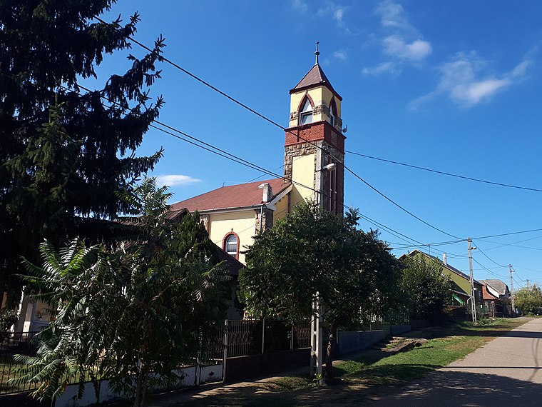
Alsódobsza
Village

Photo: Tothh417, CC BY-SA 4.0.
Alsódobsza is a village in Borsod-Abaúj-Zemplén county, Hungary.
Megyaszó
Village
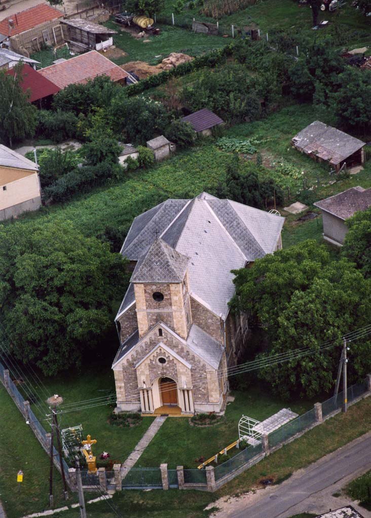
Photo: Civertan, CC BY-SA 3.0.
Megyaszó is a village in Borsod-Abaúj-Zemplén County in northeastern Hungary. Megyaszó is situated 4 km northeast of Cserje tanya.
Cserje tanya
- Type: Locality
- Location: Borsod-Abaúj-Zemplén County, Northern Hungary, Hungary, Central Europe, Europe
- View on OpenStreetMap
Latitude
48.16622° or 48° 9′ 58″ northLongitude
21.00944° or 21° 0′ 34″ eastOpen location code
8GW35285+FQOpenStreetMap ID
node 6598697910OpenStreetMap feature
place=locality
This page is based on OpenStreetMap, Wikidata, and Wikimedia Commons.
We’d love your help improving our open data sources. Thank you for contributing.
Satellite Map
Discover Cserje tanya from above in high-definition satellite imagery.
Localities in the Area
Explore places such as Bayer tanya and Felhegy.
Notable Places Nearby
Highlights include Református templom and Polgármesteri Hivatal.
Borsod-Abaúj-Zemplén County: Must-Visit Destinations
Delve into Miskolc, Sátoraljaújhely, Kazincbarcika, and Ózd.
Curious Localities to Discover
Uncover intriguing localities from every corner of the globe.
About Mapcarta. Data © OpenStreetMap contributors and available under the Open Database License". Text is available under the CC BY-SA 4.0 license, except for photos, directions, and the map. Photo: Peterszvitek, CC BY-SA 3.0.