CPR Center
CPR Center is an office in California, United States which is located on Centerpointe Drive. CPR Center is situated nearby to Brenner Park, as well as near Rainbow Park.| Tap on a place to explore it |
Places of Interest Nearby
Highlights include La Palma Intercommunity Hospital and Xcelerator.
La Palma Intercommunity Hospital
Hospital
La Palma Intercommunity Hospital is a 141-bed acute care facility in La Palma, California, US. LPH is owned and operated by Prime Healthcare Services, a hospital management company located in Victorville. La Palma Intercommunity Hospital is situated 1 mile southwest of CPR Center.
Xcelerator
Roller coaster

Photo: Wikimedia, CC BY-SA 2.0.
Xcelerator is a steel launched roller coaster located at Knott's Berry Farm in Buena Park, California, United States. Manufactured by Intamin and designed by Werner Stengel, it opened in 2002 as the company's first hydraulically-launched coaster and cost $13 million to construct. Xcelerator is situated 2 miles southeast of CPR Center.
Places in the Area
Nearby places include La Palma and Cerritos.
La Palma
Town

Photo: Wikimedia, CC BY-SA 2.0.
La Palma is a city in Orange County, California, United States. The population was 15,581 at the 2020 census, up from 15,568 at the 2010 census.
Cerritos
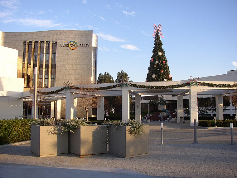
Photo: AllyUnion, CC BY-SA 3.0.
Cerritos is a city in Los Angeles County, California, United States, and is one of several cities that constitute the Gateway Cities of southeast Los Angeles County.
Buena Park

Photo: Traveler100, CC BY-SA 4.0.
Buena Park is a city in Orange County in Southern California. Buena Park is nestled between Los Angeles and San Diego, and is best known for a Knott's Berry Farm on what used to be Walter and Cordelia Knott's farm.
CPR Center
- Type: Educational institution
- Address: 700, 6 Centerpointe Drive, La Palma, CA 90623
- Categories: office and education
- Location: California, United States, North America
- View on OpenStreetMap
Latitude
33.85966° or 33° 51′ 35″ northLongitude
-118.02925° or 118° 1′ 45″ westOpen location code
8553VX5C+V7OpenStreetMap ID
node 6615747783OpenStreetMap feature
office=educational_institution
This page is based on OpenStreetMap, Wikidata, and Wikimedia Commons.
We’d love your help improving our open data sources. Thank you for contributing.
Satellite Map
Discover CPR Center from above in high-definition satellite imagery.
Notable Places Nearby
Highlights include Brenner Park and Rainbow Park.
Nearby Places
Explore places such as Valley View-Orangethorpe and Valley View-Centerpointe.
California: Must-Visit Destinations
Delve into San Francisco, Los Angeles, San Diego, and Sacramento.
Curious Places to Discover
Uncover intriguing places from every corner of the globe.
About Mapcarta. Data © OpenStreetMap contributors and available under the Open Database License". Text is available under the CC BY-SA 4.0 license, except for photos, directions, and the map. Photo: Wikimedia, CC BY-SA 2.0.