Athlestan Way
Athlestan Way is a bus stop in Rolleston on Dove, East Staffordshire, England. Athlestan Way is situated nearby to Rolleston on Dove Post Office, as well as near the village Anslow.| Tap on a place to explore it |
Places of Interest Nearby
Highlights include Pirelli Stadium and St John the Divine.
Pirelli Stadium
Stadium

Photo: Alan Slater, CC BY-SA 2.0.
Pirelli Stadium is an association football stadium on Princess Way in Burton upon Trent, Staffordshire, England. It was built in 2005 and is the current home of Burton Albion FC, replacing the club's old Eton Park home, also on Princess Way, which was demolished and developed into housing. Pirelli Stadium is situated 1¼ miles southeast of Athlestan Way.
St John the Divine
Church

Photo: Adam Fearn, CC BY-SA 2.0.
St John the Divine is the Church of England parish church in the suburb of Horninglow, north west of Burton upon Trent, Staffordshire. It is part of the Diocese of Lichfield. St John the Divine is situated 1 mile south of Athlestan Way.
St Mary’s, Stretton
Church

Photo: Geoff Pick, CC BY-SA 2.0.
St Mary's is the Church of England parish church for the village of Stretton, East Staffordshire, north of Burton upon Trent. It is part of the Diocese of Lichfield. St Mary’s, Stretton is situated 1 mile east of Athlestan Way.
Places in the Area
Nearby places include Anslow and Marston on Dove.
Anslow
Village

Photo: Alan Murray-Rust, CC BY-SA 2.0.
Anslow is a village and civil parish in the East Staffordshire district of Staffordshire, England, about three miles north-west of Burton upon Trent. According to the 2001 census, the parish, which includes Anslow Gate had a population of 669, increased to 805 at the 2011 census. Anslow is situated 2 miles southwest of Athlestan Way.
Marston on Dove
Hamlet
 Marston on Dove is a village and civil parish in South Derbyshire, nine miles south west of Derby and two miles east of Tutbury. The Church of St Mary at Marston has the oldest bell in Derbyshire, which was cast in Leicester in 1366 and inscribed with the words "Hail Mary" by John de Stafford. Marston on Dove is situated 2 miles north of Athlestan Way.
Egginton
Village
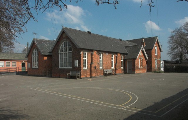
Photo: Jerry Evans, CC BY-SA 2.0.
Egginton is a village and civil parish in the local government district of South Derbyshire, England. The population of the civil parish as of the 2011 census was 574. Egginton is situated 2 miles northeast of Athlestan Way.
Athlestan Way
- Type: Bus stop
- Category: transportation
- Location: Rolleston on Dove, East Staffordshire, Staffordshire, West Midlands, England, United Kingdom, Britain and Ireland, Europe
- View on OpenStreetMap
Latitude
52.836° or 52° 50′ 10″ northLongitude
-1.64725° or 1° 38′ 50″ westOpen location code
9C4WR9P3+C3OpenStreetMap ID
node 6635094321OpenStreetMap feature
highway=bus_stopOpenStreetMap feature
public_transport=platform
This page is based on OpenStreetMap, Wikidata, and Wikimedia Commons.
We’d love your help improving our open data sources. Thank you for contributing.
Satellite Map
Discover Athlestan Way from above in high-definition satellite imagery.
Notable Places Nearby
Highlights include Rolleston on Dove Post Office and Horninglow Common Park.
Nearby Places
Explore places such as Athlestan Way and Cross Lane.
Staffordshire: Must-Visit Destinations
Delve into Stoke-on-Trent, Lichfield, Stafford, and Tamworth.
Curious Bus Stops to Discover
Uncover intriguing bus stops from every corner of the globe.
About Mapcarta. Data © OpenStreetMap contributors and available under the Open Database License". Text is available under the CC BY-SA 4.0 license, except for photos, directions, and the map. Photo: Wikimedia, CC0.