VFP Pharmacy
VFP Pharmacy is a pharmacy in Los Angeles, Southern California, California. VFP Pharmacy is situated nearby to the synagogue Congregation Adat Shalom, as well as near the neighborhood Westside Village.| Tap on a place to explore it |
Places of Interest Nearby
Highlights include Westwood/Rancho Park station and Notre Dame Academy.
Westwood/Rancho Park station
Railway station

Photo: Wikimedia, CC BY-SA 4.0.
Westwood/Rancho Park station is an at-grade light rail station in the Los Angeles Metro Rail system located at the intersection of Westwood Boulevard and Exposition Boulevard in the Rancho Park neighborhood of West Los Angeles, California. Westwood/Rancho Park station is situated 2,800 feet northwest of VFP Pharmacy.
Notre Dame Academy
School

Photo: DocFreeman24, CC BY-SA 4.0.
Notre Dame Academy Girls High School is a private, all-girls Catholic high school located in West Los Angeles, California, United States. Part of the Roman Catholic Archdiocese of Los Angeles, it was founded in 1949 by the Sisters of Notre Dame. Notre Dame Academy is situated 1,500 feet north of VFP Pharmacy.
Expo/Sepulveda station
Railway station

Photo: Polylerus, CC BY-SA 4.0.
Expo/Sepulveda station is an elevated light rail station in Los Angeles. It serves the E Line. The station connects to the UCLA campus via the Culver CityBus 6 and Rapid 6 and Metro 761 bus lines, as well as the Santa Monica Big Blue Bus line 17. Expo/Sepulveda station is situated 1 mile northwest of VFP Pharmacy.
Places in the Area
Nearby places include Westside Village and Rancho Park.
Westside Village
Neighborhood
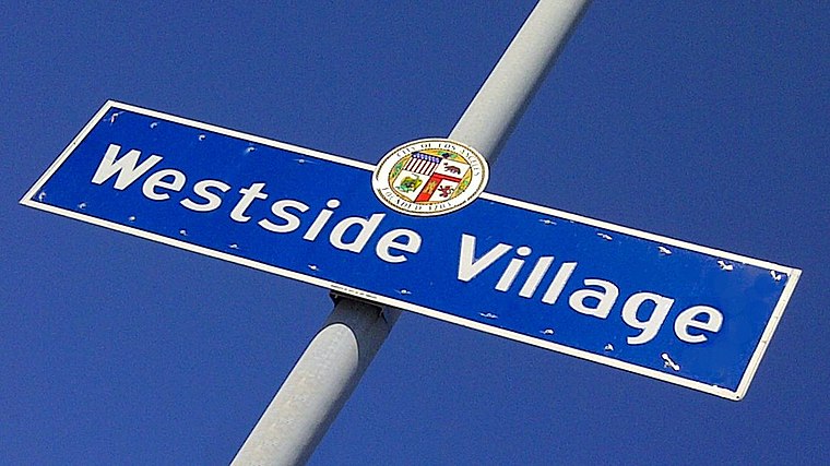
Photo: Mohansen11, CC BY-SA 3.0.
Westside Village is a neighborhood on the west side of Los Angeles, California.
Rancho Park
Quarter

Photo: GeorgeLouis, CC BY 3.0.
Rancho Park is a residential neighborhood in the Westside of the city of Los Angeles, California with mostly single family homes and tree lined streets.
Palms
Suburb
 Palms is a community in the Westside region of Los Angeles, California, founded in 1886 and the oldest neighborhood annexed to the city, in 1915. The 1886 tract was marketed as an agricultural and vacation community.
VFP Pharmacy
- Type: Pharmacy
- Category: health care
- Location: Los Angeles, Southern California, California, United States, North America
- View on OpenStreetMap
Latitude
34.02989° or 34° 1′ 48″ northLongitude
-118.42085° or 118° 25′ 15″ westOpen location code
85632HHH+XMOpenStreetMap ID
node 6644905411OpenStreetMap feature
amenity=pharmacyOpenStreetMap feature
healthcare=pharmacy
This page is based on OpenStreetMap, Wikidata, and Wikimedia Commons.
We’d love your help improving our open data sources. Thank you for contributing.
Satellite Map
Discover VFP Pharmacy from above in high-definition satellite imagery.
Notable Places Nearby
Highlights include Congregation Adat Shalom and Saint John’s Presbyterian Church.
Nearby Places
Explore places such as Trader Joe’s and Westways Lock and Key.
Los Angeles: Must-Visit Destinations
Delve into Hollywood, San Gabriel Valley, San Fernando Valley, and Long Beach.
Curious Pharmacies to Discover
Uncover intriguing pharmacies from every corner of the globe.
About Mapcarta. Data © OpenStreetMap contributors and available under the Open Database License". Text is available under the CC BY-SA 4.0 license, except for photos, directions, and the map. Photo: Mfield, CC BY-SA 3.0.