ANRU
ANRU is a government office in Mamoudzou, Mayotte. ANRU is situated nearby to the government office Direction de la coopération décentralisée et représentation extérieure, as well as near the community center Maison de la Jeunesse et de la Culture de Mamoudzou.| Tap on a place to explore it |
Places of Interest Nearby
Highlights include Our Lady of Fatima Church, Mamoudzou and Complexe de Kawani.
Our Lady of Fatima Church, Mamoudzou
Church

Photo: franek2, CC BY-SA 3.0.
The Our Lady of Fatima Church is a religious building affiliated with the Catholic Church and is located in the town of Mamoudzou, the capital of the French overseas department of Mayotte in the Indian Ocean and its most populous commune. Our Lady of Fatima Church, Mamoudzou is situated 400 metres northwest of ANRU.
Complexe de Kawani
Sports venue
The Complexe de Kawani is a multi-use sports venue in Mamoudzou, Mayotte. Its central feature, the Stade Cavani holds about 5,000 people and serves the Mayotte national football team. Complexe de Kawani is situated 1½ km west of ANRU.
St. Michael’s Church, Dzaoudzi
Church

Photo: Jean-Pierre Dalbéra, CC BY 2.0.
The St. Michael's Church or simply the Church of Dzaoudzi, is a religious building belonging to the Catholic Church and is located in the town of Dzaoudzi in the French overseas department of Mayotte, in the Indian Ocean. St. Michael’s Church, Dzaoudzi is situated 2½ km east of ANRU.
Places in the Area
Nearby places include Kaweni and Mtsapere.
Kaweni
Town

Photo: Wikimedia, CC BY-SA 4.0.
Kaweni is a village in the commune of Mamoudzou on the French overseas island of Mayotte.
Mtsapere
Village

Photo: franek2, CC BY-SA 3.0.
Mtsapéré is a settlement in the French commune of Mamoudzou, Mayotte.
Dzaoudzi
Town
 Dzaoudzi is a commune in the French overseas department of Mayotte, in the Indian Ocean. The commune of Dzaoudzi, made up of the twin towns of Dzaoudzi and Labattoir, is located on the small island of Petite-Terre.
ANRU
- Type: Government office
- Categories: office and government building
- Location: Mamoudzou, Mayotte, East African Islands, Africa
- View on OpenStreetMap
Latitude
-12.78176° or 12° 46′ 54″ southLongitude
45.23415° or 45° 14′ 3″ eastOpen location code
5HV7669M+7MOpenStreetMap ID
node 6649465655OpenStreetMap feature
office=government
This page is based on OpenStreetMap, Wikidata, and Wikimedia Commons.
We’d love your help improving our open data sources. Thank you for contributing.
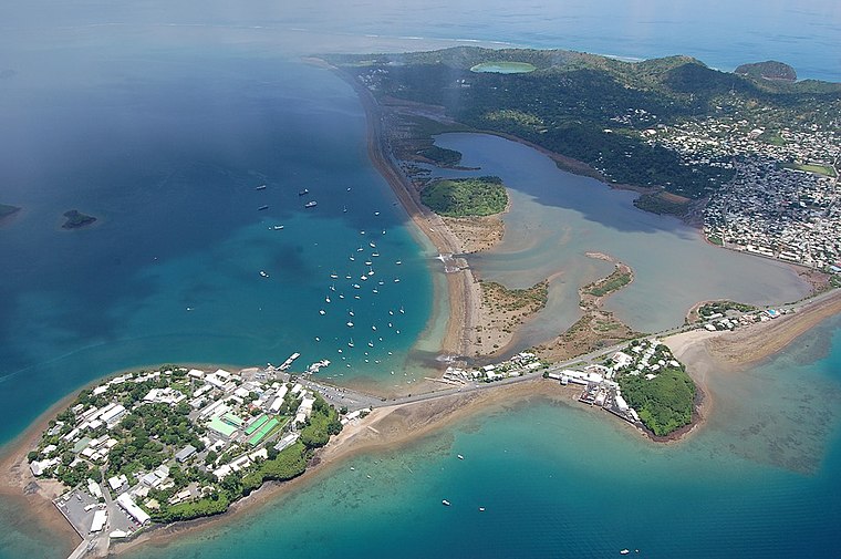
Satellite Map
Discover ANRU from above in high-definition satellite imagery.
Places with the Same Name
Discover other places named “ANRU”.
Notable Places Nearby
Highlights include Direction de la coopération décentralisée et représentation extérieure and Maison de la Jeunesse et de la Culture de Mamoudzou.
Nearby Places
Explore places such as Bar Fly and Hair Diffusion.
East African Islands: Must-Visit Destinations
Delve into Madagascar, Mauritius, Seychelles, and Comoros.
Curious Government Offices to Discover
Uncover intriguing government offices from every corner of the globe.
About Mapcarta. Data © OpenStreetMap contributors and available under the Open Database License". Text is available under the CC BY-SA 4.0 license, except for photos, directions, and the map. Photo: Julien.noel, Public domain.