Linsell House Residential Home
Linsell House Residential Home is a social service facility in Dunstable, Central Bedfordshire, England which is located on Ridgeway Avenue. Linsell House Residential Home is situated nearby to the school Hadrian Academy, as well as near the outdoor gym Box U Fitness.| Tap on a place to explore it |
Places of Interest Nearby
Highlights include St Katherine’s Church and Central Bedfordshire College.
St Katherine’s Church
Church

Photo: Alex.brad, CC BY-SA 4.0.
St Katherine’s Church is situated 1,800 feet east of Linsell House Residential Home.
Central Bedfordshire College
College
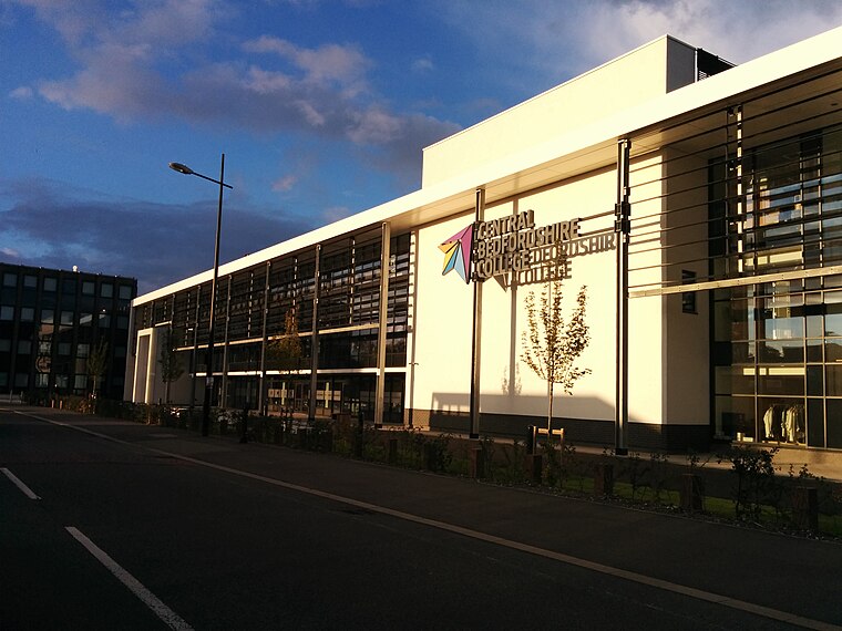
Photo: Cabayi, CC BY-SA 4.0.
Central Bedfordshire College is a British further education college located in Bedfordshire, England. The college was established in 1961 in Dunstable. Central Bedfordshire College is situated 3,200 feet west of Linsell House Residential Home.
St Hugh’s Church
Church

Photo: Alex.brad, CC BY-SA 4.0.
St Hugh’s Church is situated 4,200 feet east of Linsell House Residential Home.
Places in the Area
Nearby places include Houghton Regis and Hockwell Ring.
Houghton Regis
Town

Photo: John Yaxley, CC BY-SA 2.0.
Houghton Regis is a market town and civil parish in the Central Bedfordshire district of Bedfordshire, England. The parish includes the hamlets of Bidwell, Thorn and Sewell.
Hockwell Ring
Neighborhood

Photo: Nigel Cox, CC BY-SA 2.0.
Hockwell Ring is a suburb of Luton in the north-west of the town, in Bedfordshire, England. The area is roughly bounded by Brickly Road to the north, High Street and Torquay Drive to the south, the M1 motorway to the west, and Vincent Road to the east. Hockwell Ring is situated 1½ miles northeast of Linsell House Residential Home.
Leagrave
Suburb

Photo: GazMan7, CC BY-SA 3.0.
Leagrave is a former village and now a suburb of Luton, in the ceremonial county of Bedfordshire, England; it lies in the north-west of the town. The current council ward is roughly bounded by Vincent Road, Torquay Drive and High Street to the north, Roman Road and Stoneygate Road to the south, the M1 to the west, and Marsh Road and Leagrave Park to the east. Leagrave is situated 2 miles northeast of Linsell House Residential Home.
Linsell House Residential Home
- Type: Social service facility
- Address: Ridgeway Avenue, Dunstable, LU5 4QJ
- Location: Dunstable, Central Bedfordshire, England, United Kingdom, Britain and Ireland, Europe
- View on OpenStreetMap
Latitude
51.89243° or 51° 53′ 33″ northLongitude
-0.50519° or 0° 30′ 19″ westOpen location code
9C3XVFRV+XWOpenStreetMap ID
node 6699382636OpenStreetMap feature
amenity=social_facility
This page is based on OpenStreetMap, Wikidata, and Wikimedia Commons.
We’d love your help improving our open data sources. Thank you for contributing.
Satellite Map
Discover Linsell House Residential Home from above in high-definition satellite imagery.
Notable Places Nearby
Highlights include Hadrian Academy and Box U Fitness.
Nearby Places
Explore places such as SLU1 Amazon and Sceptre School/Focus School Dunstable Campus.
England: Must-Visit Destinations
Delve into London, Manchester, Sheffield, and Leeds.
Curious Social Service Facilities to Discover
Uncover intriguing social service facilities from every corner of the globe.
About Mapcarta. Data © OpenStreetMap contributors and available under the Open Database License". Text is available under the CC BY-SA 4.0 license, except for photos, directions, and the map. Photo: Peter Skuce, Public domain.