Inskip & Davie
Inskip & Davie is a real estate agent in Sandy, Central Bedfordshire, England. Inskip & Davie is situated nearby to the town Sandy, as well as near Queens Head Public House.| Tap on a place to explore it |
Places of Interest Nearby
Highlights include Church of St Swithun, Sandy and Queens Head Public House.
Church of St Swithun, Sandy
Church

Photo: St Swithun’s VC Lower School, CC BY-SA 2.0.
Church of St Swithun, Sandy is situated 510 feet southeast of Inskip & Davie.
Queens Head Public House
Pub

Photo: N Avery, CC BY-SA 2.0.
Queens Head Public House is situated 350 feet northeast of Inskip & Davie.
Sandy railway station
Railway station
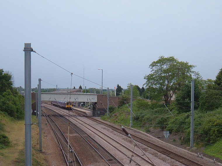 Sandy railway station serves the town of Sandy in Bedfordshire, England. It is on the East Coast Main Line, about 44 miles from London King's Cross. Sandy is managed by Great Northern but all train services are operated by Thameslink. Sandy railway station is situated 2,100 feet southeast of Inskip & Davie.
Places in the Area
Nearby places include Sandy and Beeston.
Sandy
Town
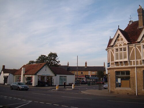
Photo: Orangeaurochs, Public domain.
Sandy is a town and civil parish in Central Bedfordshire, England. It lies 8 miles to the east of Bedford, 18 miles to the south west of Cambridge and 43 miles north of Central London.
Beeston
Village

Photo: Robert Lacey, CC BY-SA 2.0.
Beeston is a hamlet of about 530 acres village green bounded by many of the older residences.
Hatch
Hamlet
Hatch is a hamlet in the Central Bedfordshire district of Bedfordshire, England. It is located a little over a mile south-west of the market town of Sandy, and forms part of the Northill civil parish. Budna and Thorncote Green are located just to the west.
Inskip & Davie
- Type: Real estate agent
- Category: office
- Location: Sandy, Central Bedfordshire, England, United Kingdom, Britain and Ireland, Europe
- View on OpenStreetMap
Latitude
52.12859° or 52° 7′ 43″ northLongitude
-0.28794° or 0° 17′ 17″ westOpen location code
9C4X4PH6+CROpenStreetMap ID
node 6773091540OpenStreetMap feature
office=estate_agent
This page is based on OpenStreetMap, Wikidata, and Wikimedia Commons.
We’d love your help improving our open data sources. Thank you for contributing.
Satellite Map
Discover Inskip & Davie from above in high-definition satellite imagery.
Notable Places Nearby
Highlights include Sandy Post Office and Queens Head pétanque field.
Nearby Places
Explore places such as Jagged Edge and Urban Kutz.
England: Must-Visit Destinations
Delve into London, Manchester, Sheffield, and Leeds.
Curious Real Estate Agents to Discover
Uncover intriguing real estate agents from every corner of the globe.
About Mapcarta. Data © OpenStreetMap contributors and available under the Open Database License". Text is available under the CC BY-SA 4.0 license, except for photos, directions, and the map. Photo: sidibousaid, CC BY 2.0.