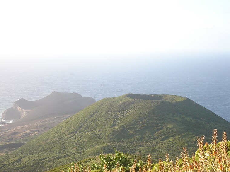
Miradouro para o Cabeço do Canto
Miradouro para o Cabeço do Canto is a scenic viewpoint in Capelo, Horta Municipality. Miradouro para o Cabeço do Canto is situated nearby to the cave Furna Ruim, as well as near the scenic viewpoint Miradouro para o Caldeirão.| Tap on a place to explore it |
Places of Interest Nearby
Highlights include Cabeço do Canto and Church of Nossa da Esperança.
Church of Nossa da Esperança
Church

Photo: Luissilveira, Public domain.
Church of Nossa da Esperança is situated 1 km north of Miradouro para o Cabeço do Canto.
Lighthouse of Vale Formoso
Lighthouse
 The Lighthouse of Vale Formoso is a beacon/lighthouse located along the southwestern cliffs of the civil parish of Capelo, in the municipality of Horta, on the Portuguese island of Faial, in the archipelago of the Azores. Lighthouse of Vale Formoso is situated 1½ km southwest of Miradouro para o Cabeço do Canto.
Places in the Area
Nearby places include Capelo and Praia do Norte.
Capelo
Village

Photo: Marlene Angeja, CC BY-SA 2.0.
Capelo is a freguesia in the municipality of Horta on the island of Faial in the Azorean archipelago. The population in 2011 was 486, in an area of 26.64 km2.
Praia do Norte
Village

Photo: Luissilveira, Public domain.
Praia do Norte is a civil parish of the municipality of Horta, located along the northern coast between Cedros and Capelo, on the Portuguese island of Faial, in the archipelago of the Azores. Praia do Norte is situated 4 km east of Miradouro para o Cabeço do Canto.
Miradouro para o Cabeço do Canto
- Type: Scenic viewpoint
- Category: tourism
- Location: Capelo, Horta Municipality, Azores, Portugal, Iberia, Europe
- View on OpenStreetMap
Latitude
38.5941° or 38° 35′ 39″ northLongitude
-28.80292° or 28° 48′ 11″ westOpen location code
89CHH5VW+JROpenStreetMap ID
node 6812264954OpenStreetMap feature
tourism=viewpoint
This page is based on OpenStreetMap, Wikidata, and Wikimedia Commons.
We’d love your help improving our open data sources. Thank you for contributing.
Satellite Map
Discover Miradouro para o Cabeço do Canto from above in high-definition satellite imagery.
Notable Places Nearby
Highlights include Furna Ruim and Miradouro para o Caldeirão.
Nearby Places
Explore places such as Furna Ruim and PRC1FAI - Cabeço do Canto.
Azores: Must-Visit Destinations
Delve into Terceira, Ponta Delgada, Angra do Heroísmo, and Pico.
Curious Scenic Viewpoints to Discover
Uncover intriguing scenic viewpoints from every corner of the globe.
About Mapcarta. Data © OpenStreetMap contributors and available under the Open Database License". Text is available under the CC BY-SA 4.0 license, except for photos, directions, and the map. Photo: Tsy1980, CC BY-SA 4.0.