Hattusa
Hattusa is a café in Tonbridge and Malling District, Kent, England. Hattusa is situated nearby to Tonbridge Library, as well as near the health club PureGym.| Tap on a place to explore it |
Places of Interest Nearby
Highlights include Tonbridge Library and Tonbridge railway station.

Tonbridge railway station
Railway station

Photo: Peter Trimming, CC BY-SA 2.0.
Tonbridge railway station is on the South Eastern Main Line in England, serving the town of Tonbridge, Kent. It is 29 miles 46 chains from London Charing Cross via Sevenoaks. Tonbridge railway station is situated 610 feet southwest of Hattusa.
Tonbridge Castle
Park

Photo: Wikimedia, CC BY-SA 3.0.
Tonbridge Castle is a 13th century castle situated in Tonbridge, Kent, England. Tonbridge Castle is situated 1,400 feet north of Hattusa.
Places in the Area
Nearby places include Tonbridge and Tudeley.
Tonbridge

Photo: RobThinks, CC BY-SA 4.0.
Tonbridge is a market town in Kent, England, on the River Medway, 4 miles north of Royal Tunbridge Wells, 12 miles south west of Maidstone and 29 miles south east of London.
Tudeley
Village

Photo: Enigma51, CC BY 3.0 de.
Tudeley is a village in the civil parish of Capel, in the Tunbridge Wells borough of Kent, England. The village is home to All Saints' Church, the only church in the world that has all its windows in stained glass designed by Marc Chagall. Tudeley is situated 2 miles east of Hattusa.
Bidborough
Village
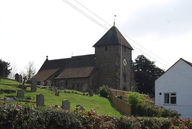
Photo: Nigel Chadwick, CC BY-SA 2.0.
Bidborough is a village and civil parish in the borough of Tunbridge Wells in Kent, England, north of Royal Tunbridge Wells and south of Tonbridge. According to the 2001 census it had a population of 958, increasing to 1,163 at the 2011 Census. Bidborough is situated 2½ miles southwest of Hattusa.
Hattusa
Latitude
51.1926° or 51° 11′ 33″ northLongitude
0.27202° or 0° 16′ 19″ eastOpen location code
9F3257VC+2ROpenStreetMap ID
node 6816826689OpenStreetMap feature
amenity=cafe
This page is based on OpenStreetMap, Wikidata, and Wikimedia Commons.
We’d love your help improving our open data sources. Thank you for contributing.
Satellite Map
Discover Hattusa from above in high-definition satellite imagery.
Places with the Same Name
Discover other places named “Hattusa”.
Notable Places Nearby
Highlights include PureGym and Christ Church.
Nearby Places
Explore places such as The Pottery Box and Wolfit.
Kent: Must-Visit Destinations
Delve into Canterbury, Dover, Maidstone, and Rochester.
Curious Cafés to Discover
Uncover intriguing cafés from every corner of the globe.
About Mapcarta. Data © OpenStreetMap contributors and available under the Open Database License". Text is available under the CC BY-SA 4.0 license, except for photos, directions, and the map. Photo: Diliff, CC BY-SA 3.0.