Coston Drive
Coston Drive is a bus stop in England, United Kingdom. Coston Drive is situated nearby to The Scotia Public House, as well as near the mosque Baitul Ma’mur Jame-E- Masjid and Islamic Center.| Tap on a place to explore it |
Places of Interest Nearby
Highlights include Arbeia and South Shields Interchange.
Arbeia
Archaeological site

Photo: Thryduulf, CC BY-SA 4.0.
Arbeia was a large Roman fort in South Shields, Tyne & Wear, England, now ruined, and which has been partially reconstructed. It was first excavated in the 1870s. Arbeia is situated 1,400 feet north of Coston Drive.
South Shields Interchange
Railway station

Photo: Ed Webster, CC BY 2.0.
South Shields Interchange is Tyne and Wear Passenger Transport Executive's transport hub in the coastal town of South Shields, South Tyneside in Tyne and Wear, England. South Shields Interchange is situated 1,200 feet south of Coston Drive.
St Hilda’s Church
Church

Photo: [2], CC BY-SA 2.0.
St Hilda's Church, South Shields is a Grade II listed parish church in South Shields, Tyne and Wear, England. It is part of the Church of England. St Hilda’s Church is situated 1,800 feet southwest of Coston Drive.
Places in the Area
Nearby places include South Shields and North Shields.
South Shields
Town

Photo: AlasdairW, CC BY-SA 3.0.
South Shields is a coastal port town in South Tyneside, Tyne and Wear, England; it lies on the south bank of the mouth of the River Tyne. The town was known in Roman times as Arbeia and as Caer Urfa by the Early Middle Ages.
North Shields
Town

Photo: Bill Henderson, CC BY-SA 2.0.
North Shields is a town in the borough of North Tyneside in Tyne and Wear, England. It is 8 miles north-east of Newcastle upon Tyne and borders nearby Wallsend and Tynemouth.
Westoe
Suburb
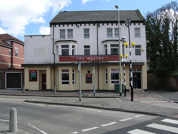
Photo: Terry Whalebone, CC BY 2.0.
Westoe was originally a village near South Shields, in the South Tyneside district, in Tyne and Wear, England, but has since become part of the town and is now used to refer to the area of the town where the village once was.
Coston Drive
- Type: Bus stop
- Category: transportation
- Location: England, United Kingdom, Britain and Ireland, Europe
- View on OpenStreetMap
Latitude
55.00059° or 55° 0′ 2″ northLongitude
-1.43187° or 1° 25′ 55″ westOpen location code
9C7W2H29+67OpenStreetMap ID
node 6818514586OpenStreetMap feature
highway=bus_stopOpenStreetMap feature
public_transport=platform
This page is based on OpenStreetMap, Wikidata, and Wikimedia Commons.
We’d love your help improving our open data sources. Thank you for contributing.
Satellite Map
Discover Coston Drive from above in high-definition satellite imagery.
Notable Places Nearby
Highlights include The Scotia Public House and Baitul Ma’mur Jame-E- Masjid and Islamic Center.
Nearby Places
Explore places such as Cutloose Unisex Hair Studio and Brigham & Cowan Employees Welfare Club.
England: Must-Visit Destinations
Delve into London, Manchester, Sheffield, and Leeds.
Curious Bus Stops to Discover
Uncover intriguing bus stops from every corner of the globe.
About Mapcarta. Data © OpenStreetMap contributors and available under the Open Database License". Text is available under the CC BY-SA 4.0 license, except for photos, directions, and the map. Photo: sidibousaid, CC BY 2.0.