Accrocamp
Accrocamp is a sports venue in Chaville, Arrondissement of Boulogne-Billancourt, Île-de-France. Accrocamp is situated nearby to the cemetery Cimetière de Chaville, as well as near Espace Cinéraire.| Tap on a place to explore it |
Places of Interest Nearby
Highlights include Cimetière de Chaville and Gare de Chaville-Rive-Gauche.
Cimetière de Chaville
Cemetery

Photo: FR, CC BY-SA 3.0.
Cimetière de Chaville is a cemetery, which is situated 110 metres west of Accrocamp.
Gare de Chaville-Rive-Gauche
Railway station

Photo: Parisdreux, CC BY-SA 3.0.
Gare de Chaville-Rive-Gauche is a railway station, which is situated 290 metres west of Accrocamp.
Église Sainte-Bernadette de Chaville
Church

Photo: FR, CC BY-SA 3.0.
Église Sainte-Bernadette de Chaville is a church, which is situated 520 metres southwest of Accrocamp.
Places in the Area
Nearby places include Chaville and Viroflay.
Chaville
Town

Photo: Chabe01, CC BY-SA 4.0.
Chaville is a commune in the Hauts-de-Seine department and Île-de-France region of north-central France. It lies some 12 kilometres from the centre of Paris in the south-western suburbs of the French capital.
Viroflay
Town
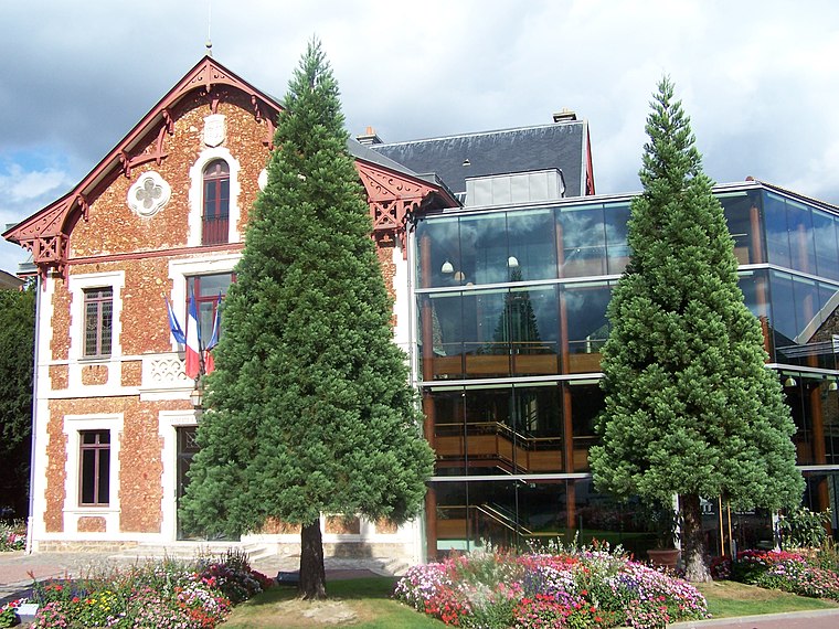
Photo: Henrysalome, CC BY-SA 3.0.
Viroflay is a commune in the Yvelines department in the Île-de-France in north-central France. It is located in the south-western suburbs of Paris 14.1 km from the center and 3 km from the Palace of Versailles.

Accrocamp
- Type: Sports venue
- Categories: climbing site, recreation area, and sports location
- Location: Chaville, Arrondissement of Boulogne-Billancourt, Hauts-de-Seine, Île-de-France, France, Europe
- View on OpenStreetMap
Latitude
48.80475° or 48° 48′ 17″ northLongitude
2.1929° or 2° 11′ 35″ eastOpen location code
8FW4R53V+W5OpenStreetMap ID
node 6834177898OpenStreetMap feature
leisure=sports_centreOpenStreetMap feature
sport=climbing_adventure
This page is based on OpenStreetMap, Wikidata, and Wikimedia Commons.
We’d love your help improving our open data sources. Thank you for contributing.
Satellite Map
Discover Accrocamp from above in high-definition satellite imagery.
Places with the Same Name
Discover other places named “Accrocamp”.
Notable Places Nearby
Highlights include AccroCamp Forêt de meudon - Chaville and Espace Cinéraire.
Nearby Places
Explore places such as Chaville Rive Gauche and Chaville-Rive-Gauche Railway Station.
Île-de-France: Must-Visit Destinations
Delve into Paris, Versailles, Boulogne-Billancourt, and Paris Charles de Gaulle Airport.
Curious Sports Venues to Discover
Uncover intriguing sports venues from every corner of the globe.
About Mapcarta. Data © OpenStreetMap contributors and available under the Open Database License". Text is available under the CC BY-SA 4.0 license, except for photos, directions, and the map. Photo: Clicsouris, CC BY-SA 2.5.