Bramleys bar & grill
Bramleys bar & grill is a restaurant in Enfield, Greater London, England which is located on Bramley Road. Bramleys bar & grill is situated nearby to the post office Bramley Road Convenience Store, as well as near Oakwood Library.| Tap on a place to explore it |
- Opening hours:
Monday—Thursday: 5:00 PM—11:00 PM
Friday: 5:00 PM—midnight
Saturday: 1:00 PM—midnight
Sunday: 1:00 PM—10:00 PM - Type: Restaurant
- Address: 217 Bramley Road, London, N14 4XA
Places of Interest Nearby
Highlights include Oakwood tube station and St Thomas’s Church, Oakwood.
Oakwood tube station
Metro station

Photo: Philafrenzy, CC BY-SA 4.0.
Oakwood is a London Underground station. It is on the Piccadilly line between Southgate and Cockfosters stations, and is in London fare zone 5. The station is located on the edge of the Oakwood area of Enfield and is situated at the junction of Bramley Road and Chase Road. Oakwood tube station is situated 1,000 feet southwest of Bramleys bar & grill.
St Thomas’s Church, Oakwood
Church

Photo: Christine Matthews, CC BY-SA 2.0.
St Thomas's Church, Oakwood is an Anglican church in the Enfield Deanery of the Diocese of London. It is located in Prince George Avenue in the Oakwood area of the London Borough of Enfield, England. St Thomas’s Church, Oakwood is situated 1,600 feet south of Bramleys bar & grill.
Trent Park
Park
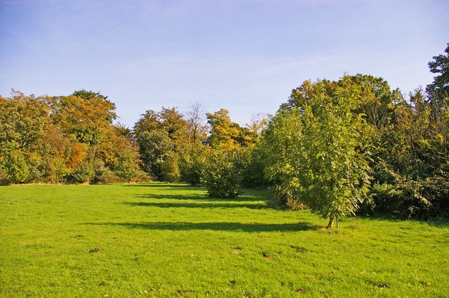
Photo: Christine Matthews, CC BY-SA 2.0.
Trent Park is an English country house in north London, accompanied by its former extensive grounds. The original great house, along with several statues and other structures within the grounds, such as the Orangery, are Grade II listed buildings. Trent Park is situated 3,800 feet northwest of Bramleys bar & grill.
Places in the Area
Nearby places include Oakwood and Cockfosters.
Oakwood
Quarter

Photo: John Salmon, CC BY-SA 2.0.
Oakwood is a suburban area of north London, in the London Borough of Enfield. It is situated within the Southgate postal area and was, historically, the southernmost area of Enfield Chase.
Cockfosters
Suburb
Photo: Starlingjon, CC BY-SA 3.0.
Cockfosters is a suburb of north London to the east of Chipping Barnet, lying partly in the London Borough of Enfield and partly in the London Borough of Barnet.
Southgate
Suburb

Photo: Londoneye, CC BY-SA 3.0.
Southgate is a suburban area of north London, England, in the London Borough of Enfield, 8 miles north of Charing Cross.
Bramleys bar & grill
- Category: food
- Location: Enfield, Greater London, England, United Kingdom, Britain and Ireland, Europe
- View on OpenStreetMap
Latitude
51.64943° or 51° 38′ 58″ northLongitude
-0.1282° or 0° 7′ 42″ westOpen location code
9C3XJVXC+QPOpenStreetMap ID
node 684892690OpenStreetMap feature
amenity=restaurant
This page is based on OpenStreetMap, Wikidata, and Wikimedia Commons.
We’d love your help improving our open data sources. Thank you for contributing.
Satellite Map
Discover Bramleys bar & grill from above in high-definition satellite imagery.
Notable Places Nearby
Highlights include Bramley Road Convenience Store and Oakwood Library.
Nearby Places
Explore places such as Peckfords and Tinted.
England: Must-Visit Destinations
Delve into London, Manchester, Sheffield, and Leeds.
Curious Restaurants to Discover
Uncover intriguing restaurants from every corner of the globe.
About Mapcarta. Data © OpenStreetMap contributors and available under the Open Database License". Text is available under the CC BY-SA 4.0 license, except for photos, directions, and the map. Photo: sidibousaid, CC BY 2.0.