Wrenches
Wrenches is a work of art in Contra Costa, California. Wrenches is situated nearby to the health club Anytime Fitness, as well as near Paul Park.| Tap on a place to explore it |
Places of Interest Nearby
Highlights include Orinda station and Round Top.
Orinda station
Metro station

Photo: Pi.1415926535, CC BY-SA 3.0.
Orinda station is a Bay Area Rapid Transit station in Orinda, California. The station has an island platform in the center median of State Route 24. It is served by the Yellow Line. Orinda station is situated 950 feet west of Wrenches.
Round Top
Peak

Photo: Semiautonomous, CC BY-SA 4.0.
Round Top is an extinct volcano located in the Berkeley Hills, just east of Oakland, California, within Contra Costa County. The peak is part of the Sibley Volcanic Regional Preserve, which was originally established in 1936 as Round Top Regional Park. Round Top is situated 2 miles south of Wrenches.
Lafayette Reservoir
Reservoir

Photo: Dicklyon, CC BY-SA 4.0.
The Lafayette Reservoir is an open-cut human-made terminal water storage reservoir owned and operated by the East Bay Municipal Utility District. Completed in 1933, it was intended solely as a standby water supply for EBMUD customers. Lafayette Reservoir is situated 2 miles east of Wrenches.
Places in the Area
Nearby places include Orinda and Glorietta.
Orinda
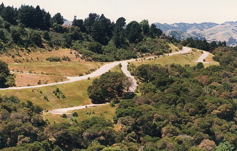
Photo: Andwhatsnext, CC BY-SA 3.0.
Orinda is a wealthy suburban refuge of most of the lawyers and bankers in Contra Costa County in the state of California.
Glorietta
Neighborhood
Glorietta is a former unincorporated community, now annexed to Orinda in Contra Costa County, California. It lies at an elevation of 597 feet.
Rheem
Neighborhood
Rheem, also known as Rheem Valley and Rheem Center, is an unincorporated community in Contra Costa County, California, United States. It is located 7.5 miles north-northwest of Danville, at an elevation of 587 feet. Rheem is situated 3½ miles east of Wrenches.
Wrenches
- Type: Work of art
- Artwork type: sculpture
- Category: tourism
- Location: Contra Costa, California, United States, North America
- View on OpenStreetMap
Latitude
37.87801° or 37° 52′ 41″ northLongitude
-122.18044° or 122° 10′ 50″ westOpen location code
849VVRH9+6ROpenStreetMap ID
node 6874385931OpenStreetMap feature
tourism=artworkOpenStreetMap attribute
artwork_type=sculpture
This page is based on OpenStreetMap, Wikidata, and Wikimedia Commons.
We’d love your help improving our open data sources. Thank you for contributing.
Satellite Map
Discover Wrenches from above in high-definition satellite imagery.
Notable Places Nearby
Highlights include Anytime Fitness and Paul Park.
Nearby Places
Explore places such as Bravo’s Pizza and Maya Mexican Grill.
California: Must-Visit Destinations
Delve into San Francisco, Los Angeles, San Diego, and Sacramento.
Curious Work Of Arts to Discover
Uncover intriguing work of arts from every corner of the globe.
About Mapcarta. Data © OpenStreetMap contributors and available under the Open Database License". Text is available under the CC BY-SA 4.0 license, except for photos, directions, and the map. Photo: Wikimedia, CC0.