Jardim Cipreste
Jardim Cipreste is a suburb in São Bernardo do Campo, Grande São Paulo, São Paulo. Jardim Cipreste is situated nearby to the quarter Parque São Bernardo, as well as near the neighborhood Jardim Industrial.| Tap on a place to explore it |
Places in the Area
Nearby places include Jardim Ipanema and Vila Alzira.
Jardim Ipanema
Suburb
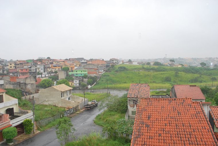
Photo: Manoel Messias de So…, CC BY-SA 3.0.
Jardim Ipanema is a suburb, which is situated 3½ km northeast of Jardim Cipreste.
Vila Alzira
Suburb

Photo: Rafael Vianna Croffi, CC BY-SA 3.0.
Vila Alzira is a suburb, which is situated 4½ km north of Jardim Cipreste.
Recreio da Borda do Campo
Suburb

Photo: BêS, CC BY-SA 3.0.
Recreio da Borda do Campo is a suburb, which is situated 4½ km southeast of Jardim Cipreste.
Jardim Cipreste
- Type: Suburb
- Description: neighborhood of Santo André
- Categories: neighborhood of Brazil and locality
- Location: São Bernardo do Campo, Grande São Paulo, São Paulo, Southeast, Brazil, South America
- View on OpenStreetMap
Latitude
-23.71453° or 23° 42′ 52″ southLongitude
-46.51938° or 46° 31′ 10″ westOpen location code
588M7FPJ+57OpenStreetMap ID
node 6914184170OpenStreetMap feature
place=suburbWikidata ID
Q116034973
This page is based on OpenStreetMap, Wikidata, and Wikimedia Commons.
We’d love your help improving our open data sources. Thank you for contributing.
Satellite Map
Discover Jardim Cipreste from above in high-definition satellite imagery.
In Other Languages
“Jardim Cipreste” goes by many names.
- Portuguese: “Jardim Cipreste”
Localities in the Area
Explore places such as Parque São Bernardo and Jardim Industrial.
Notable Places Nearby
Highlights include Arena Parque de Esportes Parque São Bernardo and Centro Municipal de Integração e Cidadania.
Grande São Paulo: Must-Visit Destinations
Delve into São Paulo, Osasco, Paulista, and Downtown São Paulo.
Curious Suburbs to Discover
Uncover intriguing suburbs from every corner of the globe.
About Mapcarta. Data © OpenStreetMap contributors and available under the Open Database License". Text is available under the CC BY-SA 4.0 license, except for photos, directions, and the map. Photo: Wikimedia, CC BY-SA 3.0.