Uvala Ploče
Uvala Ploče is a bay in Dubrovnik-Neretva, Dalmatia.| Tap on a place to explore it |
Places of Interest
Highlights include Daksa and Trsteno Arboretum.
Daksa
Islet

Photo: Ante Perkovic, CC BY 3.0.
Daksa is a small uninhabited island in the Croatian part of the Adriatic Sea. It is situated near Dubrovnik in front of the Rijeka Dubrovačka ria. The area of the island is about 0.07 km2, the highest point is 24 m above sea level.
Trsteno Arboretum
Nature reserve
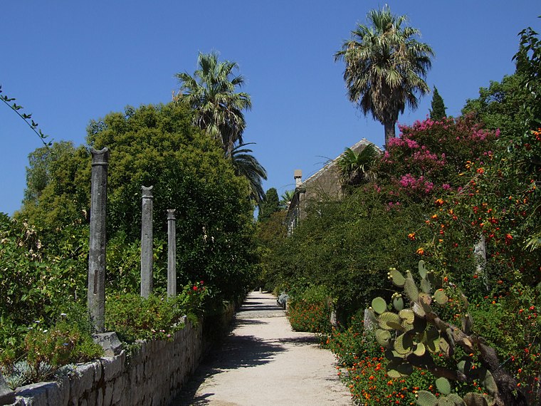
Photo: Pudelek, CC BY-SA 3.0.
Trsteno Arboretum is a Mediterranean arboretum located in Trsteno, southern Croatia. The arboretum was erected by the local noble family Gucetic - Gozze in the late 15th century, who requested ship captains to bring back seeds and plants from their travels.

Places in the Area
Nearby places include Dubrovnik and Zaton.
Dubrovnik

Photo: Bengt Nyman, CC BY 2.0.
Dubrovnik is historic walled city on the Adriatic Sea coast in the extreme south of Croatia. It is one of the most prominent tourist destinations of the Mediterranean, a seaport and the centre of the Dubrovnik-Neretva County.
Zaton
Village

Photo: August Dominus, CC BY-SA 3.0.
Zaton is a village in southern Croatia, administratively located in the City of Dubrovnik. It is located on the coast of the eponymous bay, 8 km northwest of Dubrovnik, next to the village of Orašac.
Nova Mokošica
Village

Photo: Bracodbk, CC BY-SA 3.0.
Nova Mokošica is a settlement in the City of Dubrovnik in Croatia. In 2021, its population was 5682.
Uvala Ploče
- Type: Bay
- Category: body of water
- Location: Dubrovnik-Neretva, Dalmatia, Croatia, Balkans, Europe
- View on OpenStreetMap
Latitude
42.6774° or 42° 40′ 39″ northLongitude
18.0149° or 18° 0′ 54″ eastOpen location code
8FJWM2G7+XXOpenStreetMap ID
node 6943947354OpenStreetMap feature
natural=bay
This page is based on OpenStreetMap, Wikidata, and Wikimedia Commons.
We’d love your help improving our open data sources. Thank you for contributing.
Satellite Map
Discover Uvala Ploče from above in high-definition satellite imagery.
Places with the Same Name
Discover other places named “Uvala Ploče”.
Localities in the Area
Explore places such as Koločep and Gornje Čelo.
Notable Places Nearby
Highlights include Sveti Nikola na groblju and DVD Koločep.
Dubrovnik-Neretva: Must-Visit Destinations
Delve into Dubrovnik, Korčula, Mljet, and Ploče.
Curious Bays to Discover
Uncover intriguing bays from every corner of the globe.
About Mapcarta. Data © OpenStreetMap contributors and available under the Open Database License". Text is available under the CC BY-SA 4.0 license, except for photos, directions, and the map. Photo: Wikimedia, CC0.