Leelawanti Hospital
Leelawanti Hospital is a hospital in Anjar, Kutch, Gujarat. Leelawanti Hospital is situated nearby to Matru Sparsh Hospital, as well as near the pitch Anjar Stadium.| Tap on a place to explore it |
Places of Interest Nearby
Highlights include Anjar railway station.
Anjar railway station
Railway station
Anjar railway station is a railway station in Kutch district, Gujarat, India on the Western line of the Western Railway network. Anjar railway station is 42 km away from Bhuj. Anjar railway station is situated 2 km north of Leelawanti Hospital.
Places in the Area
Nearby places include Anjar and Nagalpar Moti.
Anjar
Town

Photo: Vijay8808, CC BY-SA 4.0.
Anjar is a town, township and municipality of the Kachchh district in the state of Gujarat, India. Founded in 650 AD, Anjar is a culturally diverse town of historic importance in the region.
Nagalpar Moti
Village
Nagalpar is a small village that is located in the Kutch district, in the state of Gujarat, India. It comes under Anjar taluka.It is sub-divided into Nagalpar Moti and Nagalpar Nani… Nagalpar Moti is situated 4½ km west of Leelawanti Hospital.
Adipur
Town
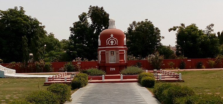
Photo: Nizil Shah, CC BY-SA 3.0.
Adipur is a town in Gandhidham Municipal Corporation of Kutch District in the state of Gujarat, India. The town is situated approximately 5 miles from Gandhidham. Adipur is situated 7 km southeast of Leelawanti Hospital.
Leelawanti Hospital
- Type: Hospital
- Address: Kachchh, Gujarat 370421
- Category: health care
- Location: Anjar, Kutch, Gujarat, Western India, India, South Asia, Asia
- View on OpenStreetMap
Latitude
23.10137° or 23° 6′ 5″ northLongitude
70.03349° or 70° 2′ 1″ eastOpen location code
7JMG422M+G9OpenStreetMap ID
node 6970389327OpenStreetMap feature
amenity=hospital
This page is based on OpenStreetMap, Wikidata, and Wikimedia Commons.
We’d love your help improving our open data sources. Thank you for contributing.
Satellite Map
Discover Leelawanti Hospital from above in high-definition satellite imagery.
Notable Places Nearby
Highlights include Matru Sparsh Hospital and Anjar Stadium.
Nearby Places
Explore places such as Royal Handicraft and RADHA KRISHNA TELECOM AND SATELLITE.
Kutch: Must-Visit Destinations
Delve into Bhuj, Dholavira, Gandhidham, and Mandvi.
Curious Places to Discover
Uncover intriguing places from every corner of the globe.
About Mapcarta. Data © OpenStreetMap contributors and available under the Open Database License". Text is available under the CC BY-SA 4.0 license, except for photos, directions, and the map. Photo: Chinmayisk, CC BY-SA 3.0.