The Central Pantry
The Central Pantry is a café in Westminster, Greater London, England which is located on Leinster Terrace. The Central Pantry is situated nearby to Leinster Arms Public House, as well as near Corringham Garden.| Tap on a place to explore it |
Places of Interest Nearby
Highlights include London Paddington railway station and Kensington Gardens.
London Paddington railway station
Railway station

Photo: TheFrog001, CC0.
London Paddington, also known as just Paddington, is a member of the London station group and London Underground station complex, located on Praed Street in the Paddington area. London Paddington railway station is situated 2,300 feet northeast of The Central Pantry.
Kensington Gardens
Park

Photo: Diliff, CC BY-SA 3.0.
Kensington Gardens, once part of the private gardens of Kensington Palace, are now among the Royal Parks of London and largely open to the public. The gardens are shared by the City of Westminster and the Royal Borough of Kensington and Chelsea and sit immediately to the west of Hyde Park, in west London.
23-24 Leinster Gardens

Photo: Hywel Williams, CC BY-SA 2.0.
Leinster Gardens is a street in Bayswater, London. It is lined with tall, ornate, mid-Victorian terraced houses, many of which are listed buildings.
Places in the Area
Nearby places include Bayswater and Black Lion Gate.
Bayswater
Suburb
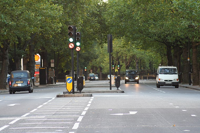
Photo: Wikimedia, Public domain.
Bayswater is an area in the City of Westminster. It is a built-up district with a population density of 17,500 per square kilometre, and is located between Kensington Gardens to the south, Paddington to the north-east, and Notting Hill to the west.

Hallfield Estate
Neighborhood

Photo: HallfieldResident, Public domain.
The Hallfield Estate is one of several modernist housing projects in Bayswater, City of Westminster, and was designed in the immediate postwar period by the Tecton architecture practice, led by Berthold Lubetkin.
The Central Pantry
- Type: Café
- Address: 29 Leinster Terrace
- Location: Westminster, Greater London, London, England, United Kingdom, Britain and Ireland, Europe
- View on OpenStreetMap
Latitude
51.51185° or 51° 30′ 43″ northLongitude
-0.18329° or 0° 10′ 60″ westOpen location code
9C3XGR68+PMOpenStreetMap ID
node 7027663330OpenStreetMap feature
amenity=cafe
This page is based on OpenStreetMap, Wikidata, and Wikimedia Commons.
We’d love your help improving our open data sources. Thank you for contributing.
Satellite Map
Discover The Central Pantry from above in high-definition satellite imagery.
Notable Places Nearby
Highlights include Leinster Arms Public House and Corringham Garden.
Nearby Places
Explore places such as Midoo Exchange and Snacks Delight.
London: Must-Visit Destinations
Delve into South Kensington-Chelsea, Heathrow Airport, City of London, and South London.
Curious Cafés to Discover
Uncover intriguing cafés from every corner of the globe.
About Mapcarta. Data © OpenStreetMap contributors and available under the Open Database License". Text is available under the CC BY-SA 4.0 license, except for photos, directions, and the map. Photo: Pablo BM, CC BY 2.0.