Mata de Caña
Mata de Caña is a village in Sampués, Sucre Department. Mata de Caña is situated nearby to the locality Nuevo Reino, as well as near Las Camelias.| Tap on a place to explore it |
Places in the Area
Nearby places include Sampués.
Sampués
Town
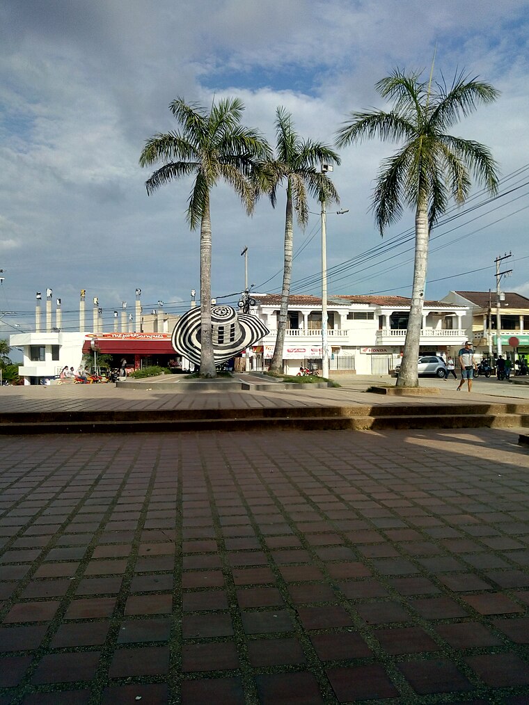
Photo: Sampués, CC BY-SA 4.0.
Sampués is a town and municipality located in the Sucre Department, northern Colombia. Sampués is situated 4½ km southeast of Mata de Caña.
Mata de Caña
- Type: Village
- Category: locality
- Location: Sampués, Sucre Department, Colombia, South America
- View on OpenStreetMap
Latitude
9.2172° or 9° 13′ 2″ northLongitude
-75.40505° or 75° 24′ 18″ westOpen location code
67X66H8V+VXOpenStreetMap ID
node 703507588OpenStreetMap feature
place=village
This page is based on OpenStreetMap, Wikidata, and Wikimedia Commons.
We’d love your help improving our open data sources. Thank you for contributing.
Satellite Map
Discover Mata de Caña from above in high-definition satellite imagery.
Places with the Same Name
Discover other places named “Mata de Caña”.
Localities in the Area
Explore places such as Nuevo Reino and Las Camelias.
Notable Places Nearby
Highlights include SENA Sede La Gallera and Sombrero Vueltiao.
Colombia: Must-Visit Destinations
Delve into Bogotá, Medellín, Cali, and Cartagena.
Curious Villages to Discover
Uncover intriguing villages from every corner of the globe.
About Mapcarta. Data © OpenStreetMap contributors and available under the Open Database License". Text is available under the CC BY-SA 4.0 license, except for photos, directions, and the map. Photo: Wikimedia, CC0.