Alhafar Bridge
Alhafar Bridge is a scenic viewpoint in Al-Qādisiyyah Governorate, Iraq.| Tap on a place to explore it |
Places in the Area
Nearby places include Al-Shamiya.
Al-Shamiya
Town
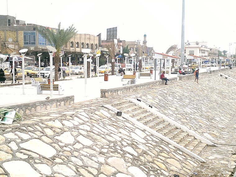
Photo: Qudees, CC BY-SA 4.0.
Al-Shamiya is a city in Al-Shamiya District, Al-Qādisiyyah Governorate, Iraq. It is roughly 147 km south of Baghdad on the Al-Shamiya branch of the Euphrates. Al-Shamiya is situated 9 km west of Alhafar Bridge.
Alhafar Bridge
- Type: Scenic viewpoint
- Category: tourism
- Location: Al-Qādisiyyah Governorate, Iraq, Middle East, Asia
- View on OpenStreetMap
Latitude
31.96365° or 31° 57′ 49″ northLongitude
44.68269° or 44° 40′ 58″ eastOpen location code
8H36XM7M+F3OpenStreetMap ID
node 7043162485OpenStreetMap feature
tourism=viewpoint
This page is based on OpenStreetMap, Wikidata, and Wikimedia Commons.
We’d love your help improving our open data sources. Thank you for contributing.
Satellite Map
Discover Alhafar Bridge from above in high-definition satellite imagery.
Notable Places Nearby
Highlights include Diwaniyah gas power plant and Diwaniyah Power Plant.
Nearby Places
Explore places such as مدرسة حسان بن ثابت and مدرسة مهد الحضارات.
Iraq: Must-Visit Destinations
Delve into Baghdad, Babylon, Mosul, and Basra.
Curious Scenic Viewpoints to Discover
Uncover intriguing scenic viewpoints from every corner of the globe.
About Mapcarta. Data © OpenStreetMap contributors and available under the Open Database License". Text is available under the CC BY-SA 4.0 license, except for photos, directions, and the map. Photo: Wikimedia, Public domain.