Farikou Ka Carré
Farikou Ka Carré is a bus stop in Bamako, Koulikoro. Farikou Ka Carré is situated nearby to the government office PÂTISSERIE CAFÉ, as well as near PLACE PUBLIQUE.| Tap on a place to explore it |
Places of Interest Nearby
Highlights include Embassy of the United States and Embassy of India.
Embassy of the United States
Government office
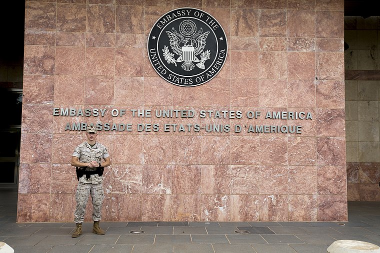
Photo: Diplomatic Security Service, Public domain.
Embassy of the United States is a government office, which is situated 3 km north of Farikou Ka Carré.
Embassy of India
Government office
The Republic of India has one of the largest diplomatic networks, reflecting its links in the world and particularly in neighbouring regions: Central Asia, the Middle East, East Africa, Europe, Southeast Asia, and the rest of the Indian subcontinent. Embassy of India is situated 3½ km northeast of Farikou Ka Carré.
BCEAO Tower
Bank

Photo: Arensond, Public domain.
The BCEAO Tower is a building in Bamako, Mali. At 20 stories and 80m high, it is the tallest building in the West African region. It sits on the north bank of the Niger River in the center of the City of Bamako. BCEAO Tower is situated 3½ km northeast of Farikou Ka Carré.
Farikou Ka Carré
- Type: Bus stop
- Category: transportation
- Location: Bamako, Koulikoro, Mali, Sahel, Africa
- View on OpenStreetMap
Latitude
12.60177° or 12° 36′ 6″ northLongitude
-8.01184° or 8° 0′ 43″ westOpen location code
7C4HJX2Q+P7OpenStreetMap ID
node 7046904003OpenStreetMap feature
highway=bus_stopOpenStreetMap feature
public_transport=platform
This page is based on OpenStreetMap, Wikidata, and Wikimedia Commons.
We’d love your help improving our open data sources. Thank you for contributing.
Satellite Map
Discover Farikou Ka Carré from above in high-definition satellite imagery.
Notable Places Nearby
Highlights include PÂTISSERIE CAFÉ and PLACE PUBLIQUE.
Nearby Places
Explore places such as dimo and Dimo trans.
Curious Bus Stops to Discover
Uncover intriguing bus stops from every corner of the globe.
About Mapcarta. Data © OpenStreetMap contributors and available under the Open Database License". Text is available under the CC BY-SA 4.0 license, except for photos, directions, and the map. Photo: Rgaudin, Public domain.