Arundel Avenue
Arundel Avenue is a bus stop in Castle Donington, North West Leicestershire, England. Arundel Avenue is situated nearby to the health club The Workhouse Gym, as well as near Back Lane Bridge.| Tap on a place to explore it |
Places of Interest Nearby
Highlights include Church of St Edward King and Martyr, Castle Donington and Castle Donington Methodist Church.
Church of St Edward King and Martyr, Castle Donington
Church

Photo: Ed6767, CC BY-SA 4.0.
Church of St Edward King and Martyr, Castle Donington is situated 3,500 feet southeast of Arundel Avenue.
Castle Donington Methodist Church
Church

Photo: Rpriv2000, CC BY-SA 3.0.
Castle Donington Methodist Church is a Grade II listed Methodist Church in Castle Donington, Leicestershire. Castle Donington Methodist Church is situated 3,500 feet southeast of Arundel Avenue.
Castle Donington railway viaduct
Bridge

Photo: Jokulhlaup, CC BY-SA 4.0.
Castle Donington railway viaduct is a bridge, which is situated 4,100 feet west of Arundel Avenue.
Places in the Area
Nearby places include Hemington and Shardlow.
Hemington
Village

Photo: Chris J Dixon, CC BY-SA 2.0.
Hemington is a village and former civil parish, now in the parish of Lockington-Hemington, in the North West Leicestershire district of Leicestershire, England.
Shardlow
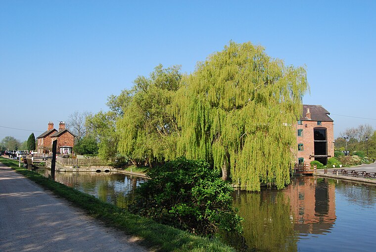
Photo: Rpriv2000, CC BY-SA 3.0.
Shardlow is a village in Derbyshire, England about 6 miles southeast of Derby and 11 miles southwest of Nottingham. Part of the civil parish of Shardlow and Great Wilne, and the district of South Derbyshire, it is also very close to the border with Leicestershire, defined by the route of the River Trent which passes close to the south.
Lockington
Village

Photo: MondayLad, CC BY-SA 3.0.
Lockington is a village and former civil parish, now in the parish of Lockington-Hemington, in the North West Leicestershire district of Leicestershire, England. The village is close to the Derbyshire border. Lockington is situated 1½ miles east of Arundel Avenue.
Arundel Avenue
- Type: Bus stop
- Category: transportation
- Location: Castle Donington, North West Leicestershire, Leicestershire, East Midlands, England, United Kingdom, Britain and Ireland, Europe
- View on OpenStreetMap
Latitude
52.84933° or 52° 50′ 58″ northLongitude
-1.34726° or 1° 20′ 50″ westOpen location code
9C4WRMX3+P3OpenStreetMap ID
node 7061796132OpenStreetMap feature
highway=bus_stopOpenStreetMap feature
public_transport=platform
This page is based on OpenStreetMap, Wikidata, and Wikimedia Commons.
We’d love your help improving our open data sources. Thank you for contributing.
Satellite Map
Discover Arundel Avenue from above in high-definition satellite imagery.
Notable Places Nearby
Highlights include The Workhouse Gym and Back Lane Bridge.
Nearby Places
Explore places such as Arundel Avenue and Trent Lane Substation.
Leicestershire: Must-Visit Destinations
Delve into Leicester, Loughborough, Hinckley, and Melton Mowbray.
Curious Bus Stops to Discover
Uncover intriguing bus stops from every corner of the globe.
About Mapcarta. Data © OpenStreetMap contributors and available under the Open Database License". Text is available under the CC BY-SA 4.0 license, except for photos, directions, and the map. Photo: Pyrope, CC BY-SA 3.0.