Ruthdulsant
Ruthdulsant is in Namur, Wallonia. Ruthdulsant is situated nearby to the mountain saddle Col de Conrad, as well as near the village Vresse-sur-Semois.| Tap on a place to explore it |
Places in the Area
Nearby places include Vresse-sur-Semois and Membre.
Vresse-sur-Semois
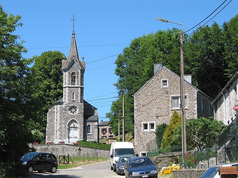
Village

Photo: sankasssss, CC BY 3.0.
Vresse-sur-Semois is a municipality of Wallonia located in the province of Namur, Belgium. The municipality consists of the following districts: Alle, Bagimont, Bohan, Chairière, Laforêt, Membre, Mouzaive, Nafraiture, Orchimont, Pussemange, Sugny, and Vresse. Vresse-sur-Semois is situated 4½ km southeast of Ruthdulsant.
Ruthdulsant
- Type: Sign
- Categories: information and tourism
- Location: Namur, Wallonia, Belgium, Benelux, Europe
- View on OpenStreetMap
Latitude
49.90653° or 49° 54′ 24″ northLongitude
4.9011° or 4° 54′ 4″ eastElevation
365 metres (1,198 feet)Open location code
8FX6WW42+JCOpenStreetMap ID
node 7101882769OpenStreetMap feature
tourism=information
This page is based on OpenStreetMap, Wikidata, and Wikimedia Commons.
We’d love your help improving our open data sources. Thank you for contributing.
Satellite Map
Discover Ruthdulsant from above in high-definition satellite imagery.
Notable Places Nearby
Highlights include Église Sainte-Anne and Col de Conrad.
Nearby Places
Explore places such as Barrière de Mointerne and La Barrière.
Curious Places to Discover
Uncover intriguing places from every corner of the globe.
About Mapcarta. Data © OpenStreetMap contributors and available under the Open Database License". Text is available under the CC BY-SA 4.0 license, except for photos, directions, and the map. Photo: Zairon, CC BY-SA 4.0.