Loubiers
Loubiers is a hamlet in Ajain, Arrondissement of Guéret, Nouvelle-Aquitaine. Loubiers is situated nearby to the hamlet La Borde, as well as near Le Betoulet.| Tap on a place to explore it |
Places of Interest
Highlights include Église de l’Assomption-de-la-Vierge d’Ajain.
Église de l’Assomption-de-la-Vierge d’Ajain
Church
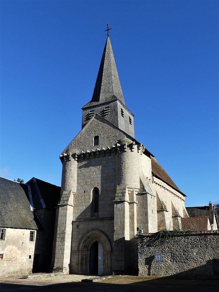
Photo: Père Igor, CC BY-SA 4.0.
Église de l’Assomption-de-la-Vierge d’Ajain is a church, which is situated 3½ km south of Loubiers.
Places in the Area
Nearby places include Ajain and Ladapeyre.
Ajain
Village

Photo: Père Igor, CC BY-SA 4.0.
Ajain is a commune in the Creuse department in the Nouvelle-Aquitaine region in central France. Ajain is situated 3½ km south of Loubiers.
Ladapeyre
Village

Photo: Aubussonais, CC BY-SA 4.0.
Ladapeyre is a commune in the Creuse department in the Nouvelle-Aquitaine region in central France. Ladapeyre is situated 4½ km east of Loubiers.
Jouillat
Village

Photo: Aubussonais, CC BY-SA 3.0.
Jouillat is a commune in the Creuse department in the Nouvelle-Aquitaine region in central France. Jouillat is situated 4½ km northwest of Loubiers.
Loubiers
- Type: Hamlet
- Category: locality
- Location: Ajain, Arrondissement of Guéret, Creuse, Nouvelle-Aquitaine, France, Europe
- View on OpenStreetMap
Latitude
46.2379° or 46° 14′ 17″ northLongitude
1.99097° or 1° 59′ 28″ eastOpen location code
8FR36XQR+59OpenStreetMap ID
node 7111640756OpenStreetMap feature
place=hamlet
This page is based on OpenStreetMap, Wikidata, and Wikimedia Commons.
We’d love your help improving our open data sources. Thank you for contributing.
Satellite Map
Discover Loubiers from above in high-definition satellite imagery.
Localities in the Area
Explore places such as La Borde and Le Betoulet.
Notable Places Nearby
Highlights include Le Peu Réda and Puy Gros.
Nouvelle-Aquitaine: Must-Visit Destinations
Delve into Bordeaux, Deux-Sèvres, Charente, and Poitiers.
Curious Hamlets to Discover
Uncover intriguing hamlets from every corner of the globe.
About Mapcarta. Data © OpenStreetMap contributors and available under the Open Database License". Text is available under the CC BY-SA 4.0 license, except for photos, directions, and the map. Photo: Noeljupiter, CC BY-SA 3.0.